Im Rohr-Spielplatz
Im Rohr-Spielplatz is a playground in Schwäbisch Hall, Stuttgart, Baden-Württemberg. Im Rohr-Spielplatz is situated nearby to the cemetery Friedhof Sulzdorf, as well as near the church St. Margarethenkirche.| Tap on a place to explore it |
Places of Interest Nearby
Highlights include Schwabisch Hall Hessental airfield and St. Martin (Stöckenburg).
Schwabisch Hall Hessental airfield
Aerodrome

Photo: Carsten Steger, CC BY-SA 4.0.
Schwabisch Hall Hessental airfield is an aerodrome, which is situated 4 km northwest of Im Rohr-Spielplatz.
St. Martin (Stöckenburg)
Church

Photo: RIrmler, CC BY-SA 3.0 de.
St. Martin (Stöckenburg) is a church, which is situated 4 km southeast of Im Rohr-Spielplatz.
Places in the Area
Nearby places include Anhausen and Vellberg.

Vellberg
Town
 Vellberg is a town in the district of Schwäbisch Hall, in Baden-Württemberg, Germany. It is located 10 km east of Schwäbisch Hall, and 15 km southwest of Crailsheim. Vellberg is situated 4 km southeast of Im Rohr-Spielplatz.
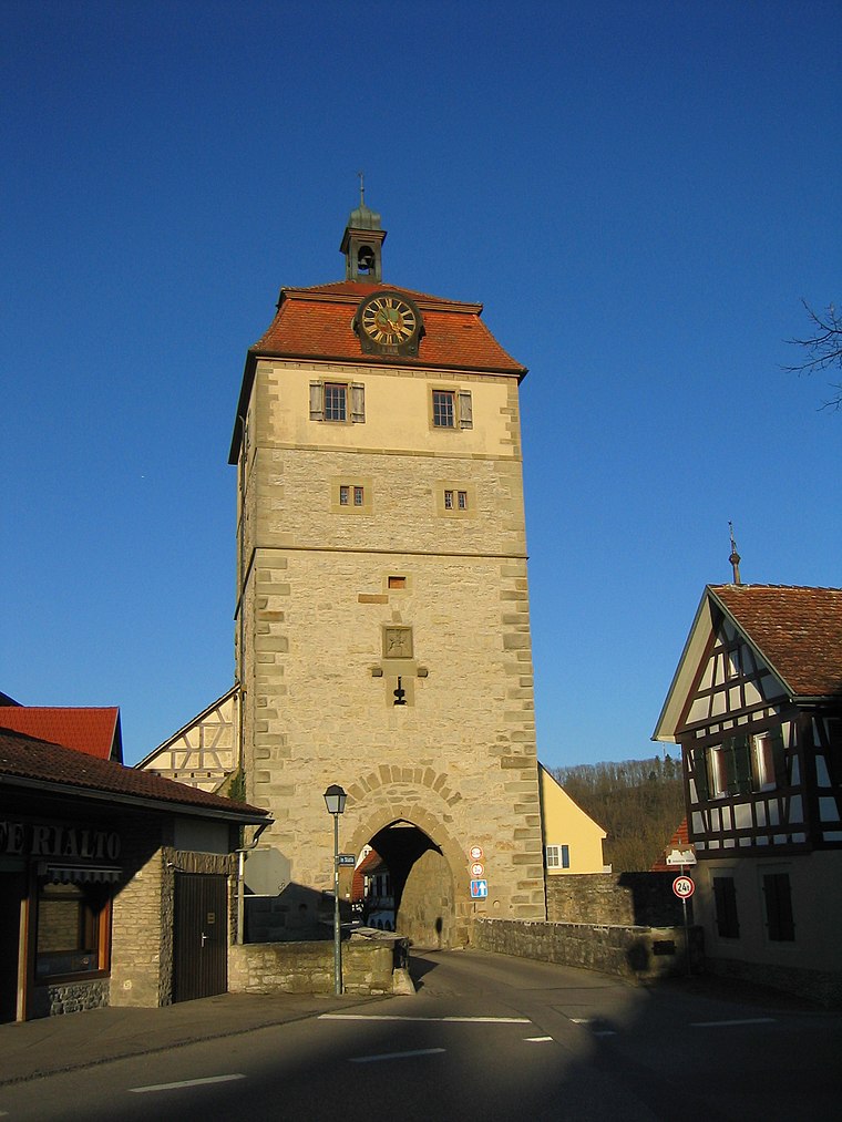
Unterscheffach
Hamlet
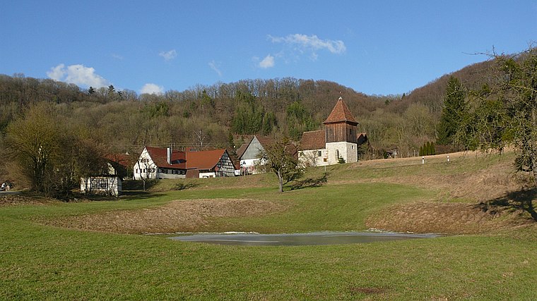
Photo: BerndH, CC BY-SA 3.0.
Unterscheffach is a hamlet, which is situated 4 km north of Im Rohr-Spielplatz.
Im Rohr-Spielplatz
- Type: Playground
- Category: recreation area
- Location: Schwäbisch Hall, Schwäbisch Hall, Stuttgart, Rhine-Neckar, Baden-Württemberg, Germany, Central Europe, Europe
- View on OpenStreetMap
Latitude
49.10478° or 49° 6′ 17″ northLongitude
9.83199° or 9° 49′ 55″ eastOperator
Stadt Schwäbisch HallOpen location code
8FXF4R3J+WQOpenStreetMap ID
way 1348771916OpenStreetMap feature
leisure=playground
This page is based on OpenStreetMap, Wikidata, and Wikimedia Commons.
We’d love your help improving our open data sources. Thank you for contributing.
Satellite Map
Discover Im Rohr-Spielplatz from above in high-definition satellite imagery.
Notable Places Nearby
Highlights include Friedhof Sulzdorf and St. Margarethenkirche.
Nearby Places
Explore places such as Sulzdorf Im Rohr and Sulzdorf Im Rohr.
Rhine-Neckar: Must-Visit Destinations
Delve into Heidelberg, Karlsruhe, Mannheim, and Heilbronn.
Curious Playgrounds to Discover
Uncover intriguing playgrounds from every corner of the globe.
About Mapcarta. Data © OpenStreetMap contributors and available under the Open Database License". Text is available under the CC BY-SA 4.0 license, except for photos, directions, and the map. Photo: marsupium photography, CC BY-SA 2.0.