Communauté de commune du Pays de Lure
Communauté de commune du Pays de Lure is in Lure, Haute-Saône, Bourgogne-Franche-Comté. Communauté de commune du Pays de Lure is situated nearby to the sports venue Centre équestre de l’Espérance, as well as near the health club Liberty Gym.| Tap on a place to explore it |
Places of Interest Nearby
Highlights include Allotment and Gare de Lure.
Allotment
Allotment garden

Photo: Cryonic07, CC BY-SA 3.0.
An allotment, is a plot of land made available for individual, non-commercial gardening for growing food plants, so forming a kitchen garden away from the residence of the user. Allotment is situated 1¼ km north of Communauté de commune du Pays de Lure.
Gare de Lure
Railway station
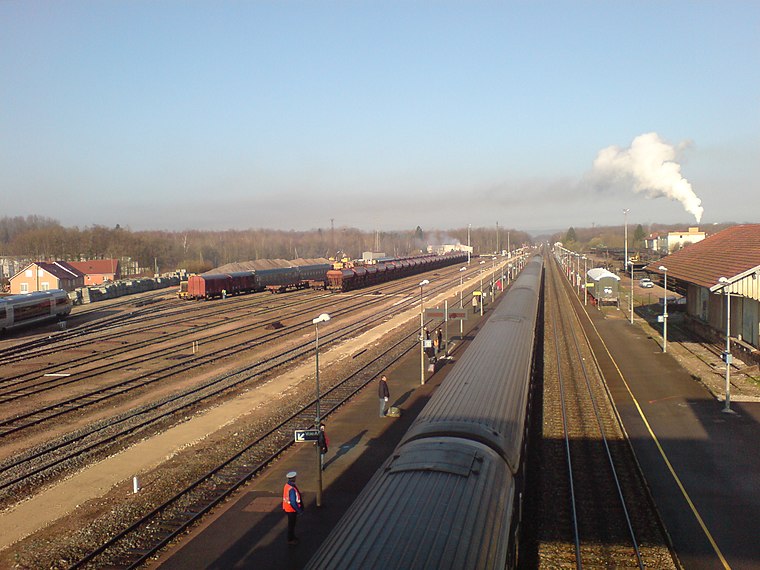
Photo: Medjaï, Public domain.
Gare de Lure is a railway station, which is situated 2 km northwest of Communauté de commune du Pays de Lure.
Hospice Marie-Richard
Social service facility

Photo: A.BourgeoisP, CC BY-SA 4.0.
Hospice Marie-Richard is a social service facility, which is situated 1½ km northwest of Communauté de commune du Pays de Lure.
Places in the Area
Nearby places include Magny-Vernois and Vouhenans.
Magny-Vernois
Village

Photo: A.BourgeoisP, CC BY-SA 4.0.
Magny-Vernois is a commune in the Haute-Saône department in the region of Bourgogne-Franche-Comté in eastern France. Magny-Vernois is situated 3 km west of Communauté de commune du Pays de Lure.
Vouhenans
Village

Photo: A.BourgeoisP, CC BY-SA 4.0.
Vouhenans is a commune in the Haute-Saône department in the region of Bourgogne-Franche-Comté in eastern France. Vouhenans is situated 3 km southwest of Communauté de commune du Pays de Lure.
Froideterre
Village

Photo: A.BourgeoisP, CC BY-SA 4.0.
Froideterre is a commune in the Haute-Saône department in the region of Bourgogne-Franche-Comté in eastern France. Froideterre is situated 4½ km north of Communauté de commune du Pays de Lure.
Communauté de commune du Pays de Lure
- Type: Industry
- Location: Lure, Arrondissement of Lure, Haute-Saône, Bourgogne-Franche-Comté, France, Europe
- View on OpenStreetMap
Latitude
47.67052° or 47° 40′ 14″ northLongitude
6.50936° or 6° 30′ 34″ eastOpen location code
8FV8MGC5+6POpenStreetMap ID
way 134882274OpenStreetMap feature
landuse=industrial
This page is based on OpenStreetMap, Wikidata, and Wikimedia Commons.
We’d love your help improving our open data sources. Thank you for contributing.
Satellite Map
Discover Communauté de commune du Pays de Lure from above in high-definition satellite imagery.
Notable Places Nearby
Highlights include Centre équestre de l’Espérance and Liberty Gym.
Nearby Places
Explore places such as Parking vélo CCPL and Extension restructuration du siège de la communauté de communes du Pays de Lure.
Bourgogne-Franche-Comté: Must-Visit Destinations
Delve into Nièvre, Dijon, Besançon, and Vesoul.
Curious Places to Discover
Uncover intriguing places from every corner of the globe.
About Mapcarta. Data © OpenStreetMap contributors and available under the Open Database License". Text is available under the CC BY-SA 4.0 license, except for photos, directions, and the map. Photo: Bourgeois.A, CC BY-SA 3.0.