Kurzparker max 30 Min
Kurzparker max 30 Min is a parking area in Varel, Friesland, Lower Saxony. Kurzparker max 30 Min is situated nearby to the railway station Varel station, as well as near the church Neuapostolische Kirche.| Tap on a place to explore it |
Places of Interest Nearby
Highlights include Varel station and Varel windmill.
Varel station
Railway station

Photo: JoachimKohlerBremen, CC BY-SA 4.0.
Varel is a railway station located in Varel, Germany. The station is located on the Oldenburg–Wilhelmshaven railway. The train services are operated by NordWestBahn.
Varel windmill
Museum

Photo: Kuebi, CC BY-SA 3.0.
Varel windmill is a museum, which is situated 440 metres northwest of Kurzparker max 30 Min.
Church of Peace
Church

Photo: GregorHelms, CC BY-SA 3.0 de.
Church of Peace is situated 470 metres west of Kurzparker max 30 Min.
Places in the Area
Nearby places include Moorhausen and Dangast.
Moorhausen
Neighborhood
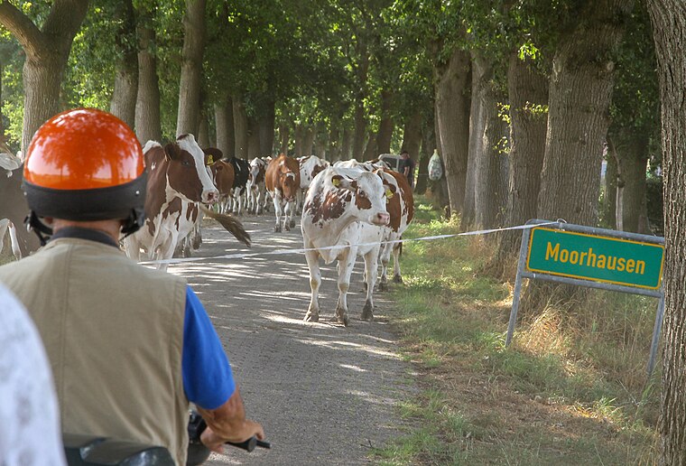
Photo: Berliner Kartenspieler, CC BY-SA 4.0.
Moorhausen is a neighborhood, which is situated 3 km north of Kurzparker max 30 Min.
Dangast
Suburb

Photo: Wikimedia, Public domain.
Dangast is a suburb, which is situated 6 km north of Kurzparker max 30 Min.
Jade
Village

Photo: Wikimedia, CC BY-SA 3.0.
Jade is a municipality in the district of Wesermarsch, in Lower Saxony, Germany. It is situated on the river Jade, approx. 23 km north of Oldenburg, and 50 km northwest of Bremen. Jade is situated 8 km southeast of Kurzparker max 30 Min.
Kurzparker max 30 Min
- Type: Parking area
- Parking: street-side
- Category: transportation
- Location: Varel, Friesland, East Frisia, Lower Saxony, Germany, Central Europe, Europe
- View on OpenStreetMap
Latitude
53.39894° or 53° 23′ 56″ northLongitude
8.14932° or 8° 8′ 58″ eastOpen location code
9F5C94XX+HPOpenStreetMap ID
way 1350990721OpenStreetMap feature
amenity=parkingOpenStreetMap attribute
parking=street_side
This page is based on OpenStreetMap, Wikidata, and Wikimedia Commons.
We’d love your help improving our open data sources. Thank you for contributing.
Satellite Map
Discover Kurzparker max 30 Min from above in high-definition satellite imagery.
Notable Places Nearby
Highlights include Neuapostolische Kirche and Let’s Dance Varel - Das Tanzhaus.
Nearby Places
Explore places such as Varel (Oldb) and NordWestBahn Kundencenter.
East Frisia: Must-Visit Destinations
Delve into Emden, Wilhelmshaven, Borkum, and Aurich.
Curious Parking Areas to Discover
Uncover intriguing parking areas from every corner of the globe.
About Mapcarta. Data © OpenStreetMap contributors and available under the Open Database License". Text is available under the CC BY-SA 4.0 license, except for photos, directions, and the map. Photo: Dickelbers, CC BY-SA 3.0.