Stockedt
Stockedt is an electrical substation in Ottnang am Hausruck, Vöcklabruck District, Upper Austria. Stockedt is situated nearby to the peak Pfenniggrub.| Tap on a place to explore it |
Places of Interest Nearby
Highlights include Church of the Visitation and Bruckmuehl Parish Church.
Church of the Visitation
Church

Photo: Bwag, CC BY 3.0 at.
Church of the Visitation is situated 2 km southwest of Stockedt.
Bruckmuehl Parish Church
Church
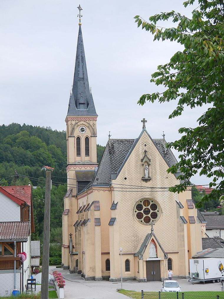
Photo: Thomas Ledl, CC BY-SA 3.0 at.
Bruckmuehl Parish Church is situated 2 km north of Stockedt.
Places in the Area
Nearby places include Vöcklabruck and Frankenburg am Hausruck.
Vöcklabruck
 Vöcklabruck is a small town in Upper Austria. Vöcklabruck is the capital city of the region with the same name. To a visitor the city may appear neat, proud, superficial and conservative.
Frankenburg am Hausruck
Village

Photo: Thomas Ledl, CC BY-SA 4.0.
Frankenburg am Hausruck is a municipality in the district of Vöcklabruck in the Austrian state of Upper Austria. Frankenburg am Hausruck is situated 10 km west of Stockedt.
Stockedt
- Type: Electrical substation
- Categories: building and industry
- Location: Ottnang am Hausruck, Vöcklabruck District, Upper Austria, Austria, Central Europe, Europe
- View on OpenStreetMap
Latitude
48.08833° or 48° 5′ 18″ northLongitude
13.61834° or 13° 37′ 6″ eastOperator
Energie AG OberösterreichOpen location code
8FWM3JQ9+88OpenStreetMap ID
way 1359930451OpenStreetMap feature
building=transformer
This page is based on OpenStreetMap, Wikidata, and Wikimedia Commons.
We’d love your help improving our open data sources. Thank you for contributing.
Satellite Map
Discover Stockedt from above in high-definition satellite imagery.
Places with the Same Name
Discover other places named “Stockedt”.
Notable Places Nearby
Highlights include Freibecken and Pfenniggrub.
Nearby Places
Explore places such as Thomasroith Stockedt and Thomasroith Stockedt.
Upper Austria: Must-Visit Destinations
Delve into Linz, Hallstatt, Wels, and Steyr.
Curious Electrical Substations to Discover
Uncover intriguing electrical substations from every corner of the globe.
About Mapcarta. Data © OpenStreetMap contributors and available under the Open Database License". Text is available under the CC BY-SA 4.0 license, except for photos, directions, and the map. Photo: Traveler100, CC BY-SA 3.0.