Landkauf24
Landkauf24 is a convenience store in Pösing, Cham, Bavaria which is located on Schulstraße. Landkauf24 is situated nearby to the railway stop Pösing, as well as near the church St. Vitus.| Tap on a place to explore it |
- Opening hours: 24/7
- Type: Convenience store
- Address: Schulstraße 4, Pösing, 93483
Places of Interest Nearby
Highlights include St. Vitus and St. Ulrich.
St. Vitus
Church

Photo: Pedro ximenez, CC BY-SA 3.0 de.
St. Vitus is a church, which is situated 270 metres east of Landkauf24.
St. Ulrich
Church

Photo: Asurnipal, CC BY-SA 4.0.
St. Ulrich is a church, which is situated 1 km south of Landkauf24.
St. Martin
Church

Photo: Mboesch, CC BY-SA 4.0.
St. Martin is a church, which is situated 3 km southeast of Landkauf24.
Places in the Area
Nearby places include Stamsried and Roding.
Stamsried
Village

Photo: O DM, CC BY-SA 3.0.
Stamsried is a village and municipality in the district of Cham in the Upper Palatinate region of Bavaria, Germany, near the Czech border. It is also located in the Roman Catholic diocese of Regensburg. Stamsried is situated 4 km north of Landkauf24.
Roding
Town
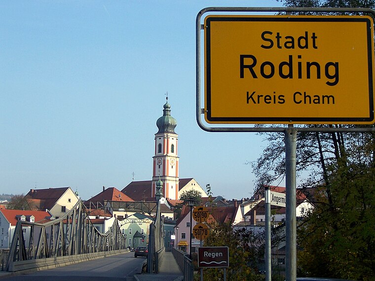
Photo: Wiki82, Public domain.
Roding is a town in the district of Cham, in Bavaria, Germany, near the Czech border. Roding is situated 4½ km southwest of Landkauf24.
Cham
Photo: Romanist, CC BY-SA 4.0.
Cham is a city in Upper Palatinate in Bavaria, Germany. Its name is pronounced quite similar to the English word "calm" and not with a German "ch" sound.
Landkauf24
- Categories: building, shop, retail building, and food
- Location: Pösing, Cham, Upper Palatinate, Bavaria, Germany, Central Europe, Europe
- View on OpenStreetMap
Latitude
49.23066° or 49° 13′ 50″ northLongitude
12.54527° or 12° 32′ 43″ eastOpen location code
8FXJ6GJW+74OpenStreetMap ID
way 1360461374OpenStreetMap feature
building=retailOpenStreetMap feature
shop=convenience
This page is based on OpenStreetMap, Wikidata, and Wikimedia Commons.
We’d love your help improving our open data sources. Thank you for contributing.
Satellite Map
Discover Landkauf24 from above in high-definition satellite imagery.
Notable Places Nearby
Highlights include Pösing and Ehem. Wasserburg mit Kirche.
Nearby Places
Explore places such as Pösing, Lagerhaus and Pösing.
Upper Palatinate: Must-Visit Destinations
Delve into Regensburg, Amberg, Cham, and Schwandorf.
Curious Convenience Stores to Discover
Uncover intriguing convenience stores from every corner of the globe.
About Mapcarta. Data © OpenStreetMap contributors and available under the Open Database License". Text is available under the CC BY-SA 4.0 license, except for photos, directions, and the map. Photo: Wikimedia, CC0.