Refugi Les Foietes
Refugi Les Foietes is a campsite in Cocentaina, Alicante, Valencian Community. Refugi Les Foietes is situated nearby to the peak Pico Mastec, as well as near El Capenal.| Tap on a place to explore it |
Places of Interest Nearby
Highlights include Cocentaina Castle and Palace of the Counts of Cocentaina.
Cocentaina Castle
Castle

Photo: Mersault32, CC BY-SA 3.0 es.
The Castle of Cocentaina, located in the municipality of Cocentaina, Alicante, Spain, is a 14th-century medieval building which stands on a rocky mound of 765 m. Cocentaina Castle is situated 2 km northeast of Refugi Les Foietes.
Palace of the Counts of Cocentaina
Manor estate

Photo: José Ramón Gisbert, CC BY-SA 4.0.
The Palace of the Counts of Cocentaina, located in the municipality of Cocentaina, Alicante, Spain, is a 14th-century medieval building. This building originated as an old fortress with four halls and four towers on donjons crowned by merlons. Palace of the Counts of Cocentaina is situated 2½ km northeast of Refugi Les Foietes.
Església del Salvador de Cocentaina
Church

Photo: Joanbanjo, Public domain.
Església del Salvador de Cocentaina is a church, which is situated 2 km east of Refugi Les Foietes.
Places in the Area
Nearby places include Alcoy and Nucli antic d’Alcoi.
Alcoy

Photo: kike blasco, CC BY 2.0.
Alcoy is an industrial city in Alicante province of the Valencian Community of 59,000 people. It is best known for its large Moros i Cristians festival.
Nucli antic d’Alcoi
Neighborhood

Photo: Joanbanjo, CC BY-SA 3.0.
Nucli antic d’Alcoi is a neighborhood, which is situated 4 km south of Refugi Les Foietes.
L’Alqueria d’Asnar
Village
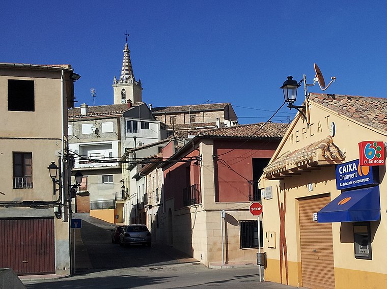
Photo: Coentor, CC BY-SA 3.0.
L'Alqueria d'Asnar is a municipality in the comarca of Comtat in the Valencian Community, Spain. L’Alqueria d’Asnar is situated 5 km northeast of Refugi Les Foietes.
Refugi Les Foietes
- Type: Campsite
- Categories: tourism and camping
- Location: Cocentaina, Alicante, Valencian Community, Eastern Spain, Spain, Iberia, Europe
- View on OpenStreetMap
Latitude
38.73525° or 38° 44′ 7″ northLongitude
-0.46523° or 0° 27′ 55″ westOpen location code
8CCXPGPM+3WOpenStreetMap ID
way 1370693714OpenStreetMap feature
tourism=camp_site
This page is based on OpenStreetMap, Wikidata, and Wikimedia Commons.
We’d love your help improving our open data sources. Thank you for contributing.
Satellite Map
Discover Refugi Les Foietes from above in high-definition satellite imagery.
Notable Places Nearby
Highlights include Pico Mastec and Cova de Pere Mas.
Nearby Places
Explore places such as Font del Raspall and Lloma del Malfaener.
Alicante: Must-Visit Destinations
Delve into Alicante, Elche, Benidorm, and Torrevieja.
Curious Campsites to Discover
Uncover intriguing campsites from every corner of the globe.
About Mapcarta. Data © OpenStreetMap contributors and available under the Open Database License". Text is available under the CC BY-SA 4.0 license, except for photos, directions, and the map. Photo: Mersault32, CC BY-SA 3.0 es.