Grundschule am Brandenburger Tor
Grundschule am Brandenburger Tor is a school in Berlin, Berlin which is located on Wilhelmstraße. Grundschule am Brandenburger Tor is situated nearby to the government office Federal Ministy of Labour and Social Affairs, as well as near the memorial Denkzeichen Georg Elser.| Tap on a place to explore it |
- Type: School
- Address: Wilhelmstraße 52, Mitte, Berlin, 10117
- Wheelchair access: yes
Places of Interest Nearby
Highlights include Brandenburg Gate and Holocaust Memorial.
Brandenburg Gate

Photo: Der Wolf im Wald, CC BY-SA 3.0.
The Brandenburg Gate is an 18th-century neoclassical monument in Berlin, Germany. One of the best-known landmarks of the country, it was erected on the site of a former city gate that marked the start of the road from Berlin to Brandenburg an der Havel, the former capital of the Margraviate of Brandenburg. Brandenburg Gate is situated 520 metres northwest of Grundschule am Brandenburger Tor.
Holocaust Memorial

Photo: NoRud, CC BY-SA 4.0.
The Memorial to the Murdered Jews of Europe (German: Denkmal für die ermordeten Juden Europas, also known as the Holocaust Memorial, is a memorial in Berlin to the Jewish victims of the Holocaust committed by Nazi Germany, designed by architect Peter Eisenman and Buro Happold. Holocaust Memorial is situated 320 metres west of Grundschule am Brandenburger Tor.
Pariser Platz
Square

Photo: Wikimedia, CC BY-SA 4.0.
Pariser Platz is a square in the historic center of Berlin, Germany, situated by the Brandenburg Gate at the end of Unter den Linden boulevard. The square is named after the French capital of Paris to commemorate the victory of the Sixth Coalition over the French Empire at the Battle of Paris, and is one of the main focal points of the city. Pariser Platz is situated 480 metres northwest of Grundschule am Brandenburger Tor.
Places in the Area
Nearby places include Friedrichstadt and Dorotheenstadt.
Friedrichstadt
Quarter
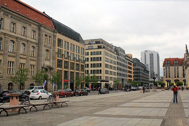
Photo: Tanweer Morshed, CC BY-SA 3.0.
Friedrichstadt was an independent suburb of Berlin, and is now a historical neighbourhood of the city itself. The neighbourhood is named after the Prussian king Frederick I.
Dorotheenstadt
Quarter
Dorotheenstadt is a historic zone or neighbourhood of central Berlin, Germany, which forms part of the locality of Mitte within the borough also called Mitte.
Friedrichswerder
Neighborhood
Friedrichswerder is a neighborhood, situated in the Berliner locality of Mitte, part of the homonymous borough. It is identical to the town of Friedrichswerder, founded in 1662, which was an independent town until 1710.
Grundschule am Brandenburger Tor
- Category: education
- Location: Berlin, Berlin, Stadt, Berlin, Germany, Central Europe, Europe
- View on OpenStreetMap
Latitude
52.51299° or 52° 30′ 47″ northLongitude
13.38322° or 13° 22′ 60″ eastOpen location code
9F4MG97M+57OpenStreetMap ID
way 137118022OpenStreetMap feature
amenity=schoolOpenStreetMap attribute
wheelchair=yes
This page is based on OpenStreetMap, Wikidata, and Wikimedia Commons.
We’d love your help improving our open data sources. Thank you for contributing.
Satellite Map
Discover Grundschule am Brandenburger Tor from above in high-definition satellite imagery.
Notable Places Nearby
Highlights include Federal Ministy of Labour and Social Affairs and Denkzeichen Georg Elser.
Nearby Places
Explore places such as Stiftung barrierefrei kommunizieren! and Wilhelmstraße 64.
Berlin: Must-Visit Destinations
Delve into Mitte, East Central, City West, and East Berlin.
Curious Schools to Discover
Uncover intriguing schools from every corner of the globe.
About Mapcarta. Data © OpenStreetMap contributors and available under the Open Database License". Text is available under the CC BY-SA 4.0 license, except for photos, directions, and the map. Photo: Berthold Werner, CC BY-SA 3.0.