Kaiserbadeingang
Kaiserbadeingang is a building in Bavaria, Germany. Kaiserbadeingang is situated nearby to the church Allerheiligen Kirche, as well as near the memorial Burgfriedensäule.| Tap on a place to explore it |
Places of Interest Nearby
Highlights include Rosenheim Loreto chapel and Burgfriedensäule.


St. Sebastian
Church

Photo: Rufus46, CC BY-SA 3.0.
St. Sebastian is a church, which is situated 270 metres southwest of Kaiserbadeingang.
Places in the Area
Nearby places include Rosenheim and Aising.
Rosenheim
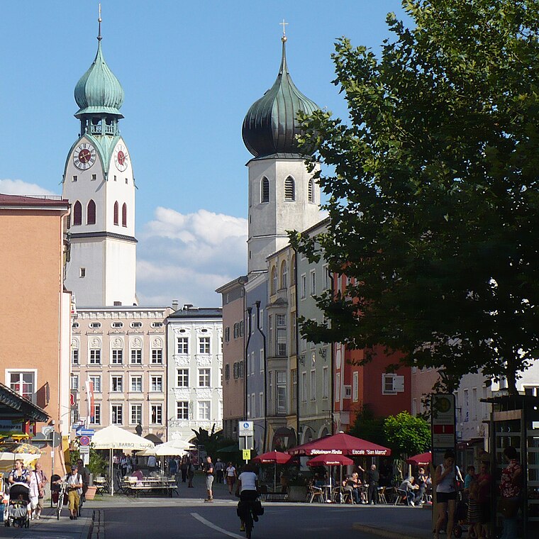
Photo: G.Piezinger, CC BY-SA 3.0.
Rosenheim is in the German state of Bavaria. It is south-east of Munich and has a population of 60,000.
Aising
Suburb

Photo: Rufus46, CC BY-SA 3.0.
Aising is a suburb, which is situated 3½ km south of Kaiserbadeingang.
Stephanskirchen
Village

Photo: Hg6996, CC BY-SA 3.0.
Stephanskirchen is a municipality in the district of Rosenheim, Upper Bavaria in Germany. Stephanskirchen is situated 4½ km east of Kaiserbadeingang.
Kaiserbadeingang
- Type: Sports location
- Category: building
- Location: Bavaria, Germany, Central Europe, Europe
- View on OpenStreetMap
Latitude
47.86119° or 47° 51′ 40″ northLongitude
12.12733° or 12° 7′ 38″ eastOpen location code
8FVJV46G+FWOpenStreetMap ID
way 137231034OpenStreetMap feature
building=pavilion
This page is based on OpenStreetMap, Wikidata, and Wikimedia Commons.
We’d love your help improving our open data sources. Thank you for contributing.
Satellite Map
Discover Kaiserbadeingang from above in high-definition satellite imagery.
Notable Places Nearby
Highlights include Allerheiligen Kirche and Tagesklinik Rosenheim des Inn-Salzach-Klinikums.
Nearby Places
Explore places such as Das Kaiserbad and Basak.
Bavaria: Must-Visit Destinations
Delve into Munich, Nuremberg, Erlangen, and Augsburg.
Curious Places to Discover
Uncover intriguing places from every corner of the globe.
About Mapcarta. Data © OpenStreetMap contributors and available under the Open Database License". Text is available under the CC BY-SA 4.0 license, except for photos, directions, and the map. Photo: gravitat-OFF, CC BY 2.0.