Barranc dels Carratalans
Barranc dels Carratalans is a heath in San Vicente del Raspeig/Sant Vicent del Raspeig, Alicante, Valencian Community. Barranc dels Carratalans is situated nearby to the forest Pinada de Villamontes, as well as near the ruins Casa Nova.| Tap on a place to explore it |
Places of Interest Nearby
Highlights include Paratge Natural Municipal Bec de l’Àguila and Bec de l’Àguila.
Paratge Natural Municipal Bec de l’Àguila
Nature reserve

Photo: Laborinquen, CC0.
Paratge Natural Municipal Bec de l’Àguila is a nature reserve.
Bec de l’Àguila
Peak

Photo: Wikimedia, CC BY-SA 4.0.
Bec de l’Àguila is a peak, which is situated 2½ km north of Barranc dels Carratalans.
Places in the Area
Nearby places include Sant Vicent del Raspeig/San Vicente del Raspeig and Villafranqueza.
Sant Vicent del Raspeig/San Vicente del Raspeig
Town
 Sant Vicent del Raspeig or San Vicente del Raspeig, or simply Sant Vicent / San Vicente, is a municipality located in the comarca of Alacantí, in the province of Alicante, Spain, inside the conurbation of Alicante city. Sant Vicent del Raspeig/San Vicente del Raspeig is situated 5 km south of Barranc dels Carratalans.
Villafranqueza
Suburb

Photo: RayRMC, CC BY-SA 4.0.
Villafranqueza is a suburb, which is situated 7 km southeast of Barranc dels Carratalans.
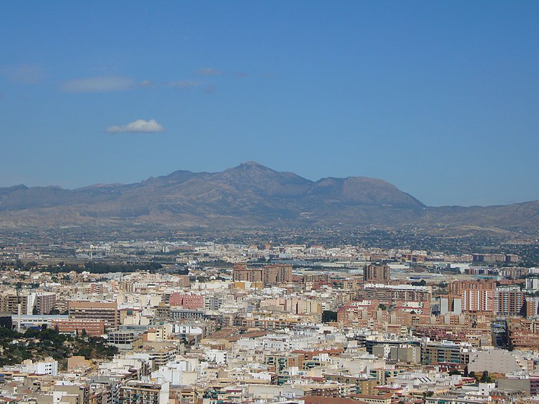
Mutxamel
Town

Photo: 19Tarrestnom65, CC BY-SA 4.0.
Mutxamel is a municipality in the comarca of Alacantí, Alicante, Valencian Community, Spain. Mutxamel is situated 8 km east of Barranc dels Carratalans.
Barranc dels Carratalans
Latitude
38.44057° or 38° 26′ 26″ northLongitude
-0.52815° or 0° 31′ 41″ westOpen location code
8CCXCFRC+6POpenStreetMap ID
way 1375022900OpenStreetMap feature
natural=heath
This page is based on OpenStreetMap, Wikidata, and Wikimedia Commons.
We’d love your help improving our open data sources. Thank you for contributing.
Satellite Map
Discover Barranc dels Carratalans from above in high-definition satellite imagery.
Notable Places Nearby
Highlights include Pinada de Villamontes and Casa Nova.
Nearby Places
Explore places such as Asociación de Vecinos Tossal Redó y Baiona Alta and Colo Ideas.
Alicante: Must-Visit Destinations
Delve into Alicante, Elche, Benidorm, and Torrevieja.
Curious Heaths to Discover
Uncover intriguing heaths from every corner of the globe.
About Mapcarta. Data © OpenStreetMap contributors and available under the Open Database License". Text is available under the CC BY-SA 4.0 license, except for photos, directions, and the map. Photo: Poco a poco, CC BY 3.0.