Grand River Floodplain
Grand River Floodplain is a nature reserve in Ontario, Canada. Grand River Floodplain is situated nearby to the neighborhood Freeport, as well as near the locality Hidden Valley.| Tap on a place to explore it |
Places of Interest
Highlights include Fairview Park Mall and Fairway station.
Fairview Park Mall
Shopping center

Photo: JFVoll, CC BY-SA 4.0.
Fairview Park is a large shopping mall of 120 stores in Kitchener, Ontario, Canada, owned and managed by Westcliff Management Ltd. The anchor store is Walmart, with two large anchor spaces, with one last occupied by Sears, divided into multiple stores…
Fairway station
Railway station
 Fairway is a light rail station and bus station in Kitchener, Ontario, Canada. It is a stop on the Region of Waterloo's Ion rapid transit system. The station is located just off Wilson Avenue between Fairway Road and Kingsway Drive, adjacent to the Fairview Park Mall.
Chicopee Ski Club

Photo: Beowulf cam, Public domain.
Chicopee Ski & Summer Resort is a winter and summer recreation club in Kitchener, Ontario, Canada, founded December 29, 1934, as a not-for-profit organisation on 165 acres.
Places in the Area
Nearby places include Doon and Preston.
Doon
Suburb

Photo: Matt Deres, CC BY-SA 3.0.
Doon is a suburban community and former village which is now a part of the city of Kitchener, Ontario, Canada. Doon was settled around 1800 by German Mennonites from Pennsylvania, and after 1830 by Scottish immigrants.
Preston
Suburb
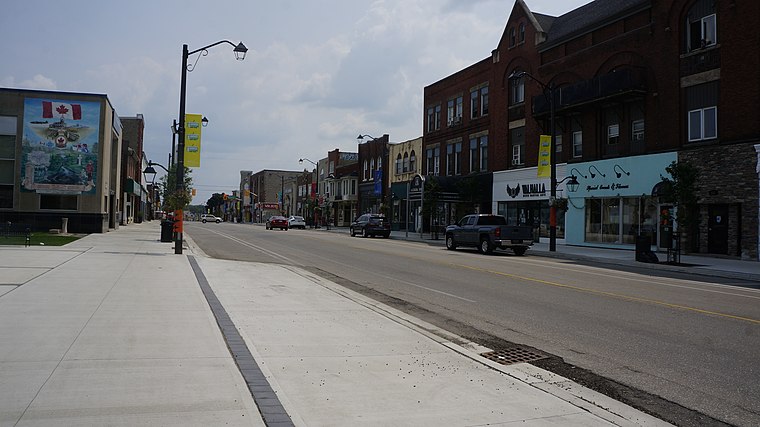
Photo: JFVoll, CC BY-SA 4.0.
Preston is a community in Cambridge, Ontario, Canada in the Regional Municipality of Waterloo, Ontario. Prior to 1973 it was an independent town, incorporated in 1915, but amalgamation with the town of Hespeler, Ontario, the city of Galt, Ontario and the village of Blair formed the new municipality of Cambridge.
Breslau
Village

Photo: JFVoll, CC BY-SA 4.0.
Breslau is a community located within the township of Woolwich, part of the Waterloo Regional Municipality in Ontario Canada. Separated from the city of Kitchener by the Grand River, Breslau takes its name from the German name for the city of Wrocław, Poland.
Grand River Floodplain
- Type: Nature reserve
- Category: recreation area
- Location: Ontario, Canada, North America
- View on OpenStreetMap
Latitude
43.4207° or 43° 25′ 15″ northLongitude
-80.4134° or 80° 24′ 48″ westOpen location code
86MXCHCP+7JOpenStreetMap ID
way 1375688680OpenStreetMap feature
leisure=nature_reserve
This page is based on OpenStreetMap, Wikidata, and Wikimedia Commons.
We’d love your help improving our open data sources. Thank you for contributing.
Satellite Map
Discover Grand River Floodplain from above in high-definition satellite imagery.
Localities in the Area
Explore places such as Freeport and Hidden Valley.
Notable Places Nearby
Highlights include Freeport Bridge and Canoeing the Grand.
Ontario: Must-Visit Destinations
Delve into Toronto, Ottawa, Hamilton, and London.
Curious Nature Reserves to Discover
Uncover intriguing nature reserves from every corner of the globe.
About Mapcarta. Data © OpenStreetMap contributors and available under the Open Database License". Text is available under the CC BY-SA 4.0 license, except for photos, directions, and the map. Photo: Wikimedia, CC BY-SA 2.0.