Hahnheck
Hahnheck is a forest in Püttlingen, Saarbrücken, Saarland. Hahnheck is situated nearby to the locality Am Dümmelberg, as well as near Bei Rehmen Eich.| Tap on a place to explore it |
Places of Interest
Highlights include Katholisches Pfarrhaus and Martinskirche.
Katholisches Pfarrhaus
Historic building

Photo: FlocciNivis, CC BY 4.0.
Katholisches Pfarrhaus is a historic building.


Places in the Area
Nearby places include Heusweiler and Riegelsberg.
Heusweiler
Village

Photo: Wikimedia, CC BY-SA 3.0.
Heusweiler is a municipality in the District of Saarbrücken, Saarland, Germany. It is situated approximately 13 km north of Saarbrücken. As of 2019, it has 18,062 inhabitants.
Riegelsberg
Town

Photo: Mstp77, CC BY-SA 3.0.
Riegelsberg is a municipality in the District of Saarbrücken, Saarland, Germany. It is situated approximately 9 km northwest of Saarbrücken.
Schwalbach
Village
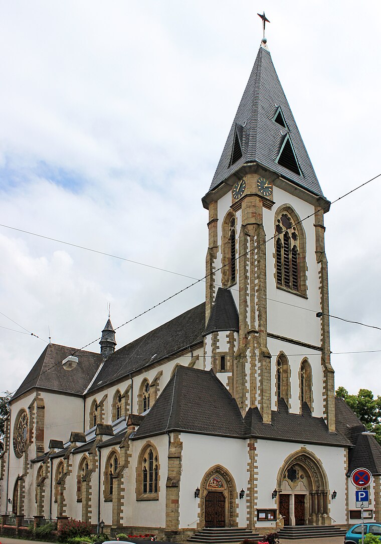
Photo: Mstp77, CC BY-SA 3.0.
Schwalbach is a municipality in the district of Saarlouis, in Saarland, Germany. It is situated approximately 5 km east of Saarlouis, and 15 km northwest of Saarbrücken.
Hahnheck
- Type: Forest
- Location: Püttlingen, Saarbrücken, Saarland, Germany, Central Europe, Europe
- View on OpenStreetMap
Latitude
49.3165° or 49° 18′ 59″ northLongitude
6.8877° or 6° 53′ 16″ eastOpen location code
8FX88V8Q+H3OpenStreetMap ID
way 137600984OpenStreetMap feature
landuse=forest
This page is based on OpenStreetMap, Wikidata, and Wikimedia Commons.
We’d love your help improving our open data sources. Thank you for contributing.
Satellite Map
Discover Hahnheck from above in high-definition satellite imagery.
Localities in the Area
Explore places such as Am Dümmelberg and Bei Rehmen Eich.
Notable Places Nearby
Highlights include Sauwasen and Langen-Berg.
Saarland: Must-Visit Destinations
Delve into Saarbrücken, Saarlouis, Homburg, and Merzig.
Curious Forests to Discover
Uncover intriguing forests from every corner of the globe.
About Mapcarta. Data © OpenStreetMap contributors and available under the Open Database License". Text is available under the CC BY-SA 4.0 license, except for photos, directions, and the map. Photo: wolfgangstaudt, CC BY 2.0.