ПОУ Мануш Турновски - Ново Коњарево
ПОУ Мануш Турновски - Ново Коњарево is a school building in Novo Selo, Eastern North Macedonia. ПОУ Мануш Турновски - Ново Коњарево is situated nearby to the church Свети Климент Охридски, as well as near Свети Пророк Илија.| Tap on a place to explore it |
Places in the Area
Nearby places include Gabrene and Novo Selo.
Gabrene
Village
Gabrene is a village in Petrich Municipality, in Blagoevgrad Province, Bulgaria. As of 2013, it had a population of 657. Gabrene is situated 4½ km southeast of ПОУ Мануш Турновски - Ново Коњарево.
Novo Selo
Village
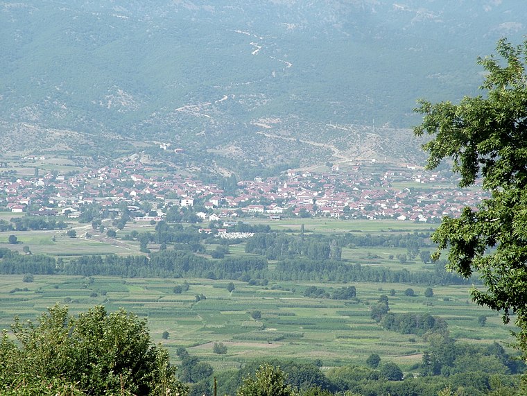
Photo: Wikimedia, CC BY-SA 2.0 de.
Novo Selo is a large village in the southeastern part of North Macedonia. It is the administrative centre of the eponymous municipality. Located in the valley of the Strumica River 9 km from the Bulgarian border, and close to border with Greece, it has a population of 2,756 as of 2002. Novo Selo is situated 5 km northwest of ПОУ Мануш Турновски - Ново Коњарево.
Dolna Krushitsa
Village
Dolna Krushitsa is a village in Petrich Municipality, in Blagoevgrad Province, Bulgaria. As of 2013, it had a population of 177. Dolna Krushitsa is situated 5 km northeast of ПОУ Мануш Турновски - Ново Коњарево.
ПОУ Мануш Турновски - Ново Коњарево
- Type: School building
- Categories: building and education
- Location: Novo Selo, Eastern North Macedonia, North Macedonia, Balkans, Europe
- View on OpenStreetMap
Latitude
41.39504° or 41° 23′ 42″ northLongitude
22.93814° or 22° 56′ 17″ eastOpen location code
8GH49WWQ+27OpenStreetMap ID
way 1384012890OpenStreetMap feature
building=school
This page is based on OpenStreetMap, Wikidata, and Wikimedia Commons.
We’d love your help improving our open data sources. Thank you for contributing.
Satellite Map
Discover ПОУ Мануш Турновски - Ново Коњарево from above in high-definition satellite imagery.
Notable Places Nearby
Highlights include Свети Климент Охридски and Свети Пророк Илија.
Nearby Places
Explore places such as Спомен за паднатите борци од Втората светска војна and 21.
Eastern North Macedonia: Must-Visit Destinations
Delve into Kumanovo, Strumica, Štip, and Kočani.
Curious Schools to Discover
Uncover intriguing schools from every corner of the globe.
About Mapcarta. Data © OpenStreetMap contributors and available under the Open Database License". Text is available under the CC BY-SA 4.0 license, except for photos, directions, and the map. Photo: Wikimedia, CC0.