Fachbereich Öffentliche Ordnung
Fachbereich Öffentliche Ordnung is a government office in Hanover, Hanover Region, Lower Saxony. Fachbereich Öffentliche Ordnung is situated nearby to the food court Market Hall, as well as near Gosch Sylt.| Tap on a place to explore it |
Places of Interest Nearby
Highlights include Museum August Kestner and Market Hall.
Museum August Kestner
Museum
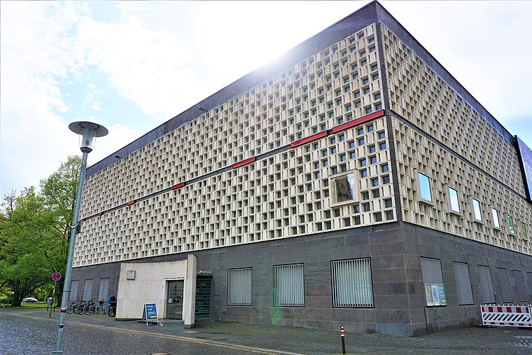
Photo: Joyofmuseums, CC BY-SA 4.0.
The August Kestner Museum, previously Kestner-Museum, is a museum in Hanover, Germany. Founded in 1889, the museum was renamed in December 2007 to avoid confusion with the Kestnergesellschaft, a local art gallery. Museum August Kestner is situated 190 metres south of Fachbereich Öffentliche Ordnung.

Laves House
Historic building

Photo: AxelHH, Public domain.
Laves House is a historic building, which is situated 100 metres southwest of Fachbereich Öffentliche Ordnung.
Places in the Area
Nearby places include Kreuzkirchenviertel and Hanover.
Kreuzkirchenviertel
Neighborhood

Photo: Bernd Schwabe in Hannover, CC BY-SA 3.0.
Kreuzkirchenviertel is a neighborhood.
Hanover

Photo: Pedelecs, CC BY-SA 3.0.
Hanover is the capital of Lower Saxony in Germany. Hanover built a huge exhibition complex for the World Expo in 2000 and has been host to several of the biggest exhibitions in the world.

Fachbereich Öffentliche Ordnung
- Type: Government office
- Wheelchair access: yes
- Categories: building, office, and government building
- Location: Hanover, Hanover Region, Lower Saxony, Germany, Central Europe, Europe
- View on OpenStreetMap
Latitude
52.36981° or 52° 22′ 11″ northLongitude
9.73686° or 9° 44′ 13″ eastOpen location code
9F4F9P9P+WPOpenStreetMap ID
way 1384646477OpenStreetMap feature
building=yesOpenStreetMap feature
office=governmentOpenStreetMap attribute
wheelchair=yes
This page is based on OpenStreetMap, Wikidata, and Wikimedia Commons.
We’d love your help improving our open data sources. Thank you for contributing.
Satellite Map
Discover Fachbereich Öffentliche Ordnung from above in high-definition satellite imagery.
Notable Places Nearby
Highlights include Gosch Sylt and Contacts.
Nearby Places
Explore places such as Köbelinger Markt and Leinstraße 17 (südlich Parkplatz Markthalle).
Hanover Region: Must-Visit Destinations
Delve into Hanover, Hildesheim, Nienburg, and Verden an der Aller.
Curious Government Offices to Discover
Uncover intriguing government offices from every corner of the globe.
About Mapcarta. Data © OpenStreetMap contributors and available under the Open Database License". Text is available under the CC BY-SA 4.0 license, except for photos, directions, and the map. Photo: Ukko.de, CC BY-SA 3.0.