Plaça de Pasqual Llopis Sancho
Plaça de Pasqual Llopis Sancho is in Albalat dels Sorells Municipality, Valencia, Valencian Community. Plaça de Pasqual Llopis Sancho is situated nearby to the church Església dels Sants Reis d’Albalat dels Sorells, as well as near Plaça dels Júniors Sol Naixent.| Tap on a place to explore it |
Places of Interest Nearby
Highlights include Església dels Sants Reis d’Albalat dels Sorells and Church of the Assumption.
Església dels Sants Reis d’Albalat dels Sorells
Church

Photo: Qoan, CC BY-SA 3.0.
Església dels Sants Reis d’Albalat dels Sorells is a church.
Church of the Assumption
Church

Photo: Qoan, CC BY-SA 3.0.
Church of the Assumption is situated 1¼ km southwest of Plaça de Pasqual Llopis Sancho.
Foios station
Metro station
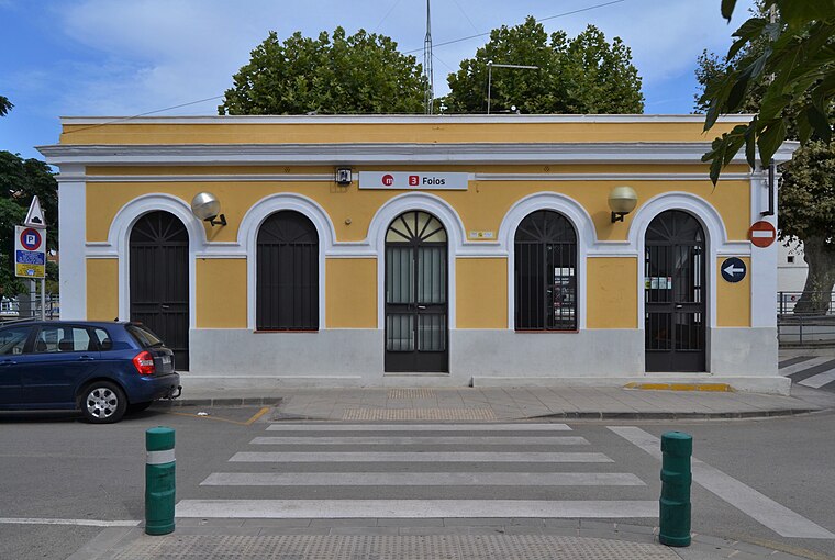
Photo: Joanbanjo, CC BY-SA 4.0.
Foios station is a metro station, which is situated 1 km southwest of Plaça de Pasqual Llopis Sancho.
Places in the Area
Nearby places include Tauladella and Foios.

Foios
Village

Photo: Qoan, CC BY-SA 3.0.
Foios is a municipality in the comarca of Horta Nord in the Valencian Community, Spain. It has a population of 7,342.
Emperador Municipality
Village

Photo: Qoan, CC BY-SA 3.0.
Emperador is a municipality in the comarca of Horta Nord in the Valencian Community, Spain. It is the second smallest municipality in all Spain, covering just 0.028 km2.
Plaça de Pasqual Llopis Sancho
Latitude
39.54385° or 39° 32′ 38″ northLongitude
-0.34566° or 0° 20′ 44″ westOpen location code
8CFXGMV3+GPOpenStreetMap ID
way 1388864576OpenStreetMap feature
highway=pedestrian
This page is based on OpenStreetMap, Wikidata, and Wikimedia Commons.
We’d love your help improving our open data sources. Thank you for contributing.
Satellite Map
Discover Plaça de Pasqual Llopis Sancho from above in high-definition satellite imagery.
In Other Languages
“Plaça de Pasqual Llopis Sancho” goes by many names.
- Catalan: “Plaça de Pasqual Llopis Sancho”
Notable Places Nearby
Highlights include Plaça dels Júniors Sol Naixent and Plaça del Consell.
Nearby Places
Explore places such as Albalat dels Sorells, Major 116 and 87 Gin’s.
Valencia: Must-Visit Destinations
Delve into Valencia, Sagunto, Gandía, and Xàtiva.
Curious Places to Discover
Uncover intriguing places from every corner of the globe.
About Mapcarta. Data © OpenStreetMap contributors and available under the Open Database License". Text is available under the CC BY-SA 4.0 license, except for photos, directions, and the map. Photo: andruby, CC BY 2.0.