Young Chefs Academy
Young Chefs Academy is a building in City of Lenexa, Johnson, Kansas which is located on Woodland Road. Young Chefs Academy is situated nearby to the dōjō AmeriKick Martial Arts, as well as near the sports venue Falcon Ridge Swimming Pool.| Tap on a place to explore it |
Places of Interest Nearby
Highlights include Olathe Northwest High School.
Olathe Northwest High School
School
Olathe Northwest High School is a public high school located in Olathe, Kansas, United States, serving students in grades 9–12. The school is one of five high schools in the Olathe USD 233 school district. Olathe Northwest High School is situated 1¼ miles southwest of Young Chefs Academy.
Places in the Area
Nearby places include Lenexa and Olathe.
Lenexa
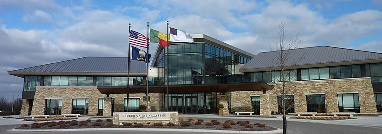
Photo: Americasroof, CC BY-SA 3.0.
Lenexa is a city in Johnson County, Kansas, United States, and part of the Kansas City metropolitan area. As of the 2020 census, the population of the city was 57,434. making it the ninth-most populated city in Kansas.
Olathe

Photo: Zcarstvnz, CC BY-SA 4.0.
Olathe is a city in and the county seat of Johnson County, Kansas, United States. It is the fourth-most populous city in both the Kansas City metropolitan area and the state of Kansas, with a 2020 population of 141,290.
Young Chefs Academy
- Type: Educational institution
- Address: 10082 Woodland Road, Lenexa, KS 66220
- Categories: building, office, and education
- Location: City of Lenexa, Johnson, Kansas, Great Plains, United States, North America
- View on OpenStreetMap
Latitude
38.94593° or 38° 56′ 45″ northLongitude
-94.81761° or 94° 49′ 3″ westLevels
1Height
17 feet (5.2 metres)Open location code
86C7W5WJ+9XOpenStreetMap ID
way 1392256180OpenStreetMap feature
building=yesOpenStreetMap feature
office=educational_institution
This page is based on OpenStreetMap, Wikidata, and Wikimedia Commons.
We’d love your help improving our open data sources. Thank you for contributing.
Satellite Map
Discover Young Chefs Academy from above in high-definition satellite imagery.
Places with the Same Name
Discover other places named “Young Chefs Academy”.
Notable Places Nearby
Highlights include AmeriKick Martial Arts and Falcon Ridge Swimming Pool.
Nearby Places
Explore places such as SERC Physical Therapy and Papa Murphy’s.
Kansas: Must-Visit Destinations
Delve into Topeka, Wichita, Kansas City, and Overland Park.
Curious Places to Discover
Uncover intriguing places from every corner of the globe.
About Mapcarta. Data © OpenStreetMap contributors and available under the Open Database License". Text is available under the CC BY-SA 4.0 license, except for photos, directions, and the map. Photo: Wikimedia, CC BY 2.0.