Ilka Puszta
Ilka Puszta is a ruins in Austria. Ilka Puszta is situated nearby to the peak Budiriegel, as well as near the village Rechnitz.| Tap on a place to explore it |
Places of Interest Nearby
Highlights include Írott-kő and Ödes Schloss, Rechnitz.
Írott-kő
Peak

Photo: Bwag, CC BY-SA 4.0.
The Geschriebenstein, less commonly called the Írott-kő in English sources, is a mountain, 884 metres high, located on the border between Austria and Hungary. Írott-kő is situated 4 km northeast of Ilka Puszta.
Ödes Schloss, Rechnitz

Photo: Christian Pirkl, CC BY-SA 4.0.
Ödes Schloss, Rechnitz is situated 2½ km east of Ilka Puszta.
Großer Hirschenstein
Scenic viewpoint

Photo: Pan Peter12, CC BY-SA 4.0.
Großer Hirschenstein is a scenic viewpoint, which is situated 3½ km northwest of Ilka Puszta.
Places in the Area
Nearby places include Rechnitz and Oberpodgoria.
Rechnitz
Village
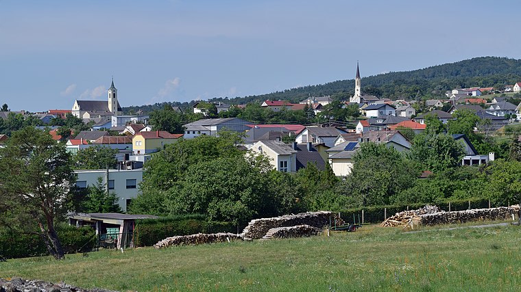
Photo: Haeferl, CC BY-SA 4.0.
Rechnitz is a municipality in Burgenland in the Oberwart district in Austria. Rechnitz is situated 3 km southeast of Ilka Puszta.
Oberpodgoria
Village

Photo: Wikimedia, Public domain.
Oberpodgoria is a village, which is situated 5 km west of Ilka Puszta.
Bozsok
Village

Photo: Pan Peter12, CC BY 3.0.
Bozsok is a village in Vas County, Hungary. It is mentioned in some records from the 13th century. It is near the remains of some Roman water pipes. It lies at the foot of the Kőszeg Mountains on the border with Austria, having Rechnitz on the other side. Bozsok is situated 6 km east of Ilka Puszta.
Ilka Puszta
- Type: Ruins
- Category: building
- Location: Austria, Central Europe, Europe
- View on OpenStreetMap
Latitude
47.32291° or 47° 19′ 23″ northLongitude
16.40982° or 16° 24′ 35″ eastOpen location code
8FVR8CF5+5WOpenStreetMap ID
way 1395984328OpenStreetMap feature
building=ruins
This page is based on OpenStreetMap, Wikidata, and Wikimedia Commons.
We’d love your help improving our open data sources. Thank you for contributing.
Satellite Map
Discover Ilka Puszta from above in high-definition satellite imagery.
Places with the Same Name
Discover other places named “Ilka Puszta”.
Notable Places Nearby
Highlights include Gotthartkluft and Budiriegel.
Nearby Places
Explore places such as ehem. Kalkofen and ehem. Forsthaus.
Austria: Must-Visit Destinations
Delve into Vienna, Salzburg, Graz, and Innsbruck.
Curious Ruins to Discover
Uncover intriguing ruins from every corner of the globe.
About Mapcarta. Data © OpenStreetMap contributors and available under the Open Database License". Text is available under the CC BY-SA 4.0 license, except for photos, directions, and the map. Photo: Chensiyuan, CC BY-SA 4.0.