Mattabaseck Wildlife Corridor
Mattabaseck Wildlife Corridor is a nature reserve in Town of Rindge, Cheshire County, New Hampshire. Mattabaseck Wildlife Corridor is situated nearby to the hamlet Cutter Hill, as well as near Converseville.| Tap on a place to explore it |
Places of Interest
Highlights include Barrett Mountain and New Ipswich Mountain.
Barrett Mountain
Peak
Barrett Mountain is a mountain located in south-central New Hampshire within the Wapack Range of mountains. It lies within the town of New Ipswich and is traversed by the 22-mile Wapack Trail. Kidder Mountain is located directly to the north along the Wapack ridgeline; New Ipswich Mountain to the south.
New Ipswich Mountain
Peak
New Ipswich Mountain is a summit within the Wapack Range of mountains in south-central New Hampshire, United States. It lies within the town of New Ipswich and is traversed by the 22-mile Wapack Trail. Barrett Mountain is located directly to the north along the Wapack ridgeline; Stony Top, a subordinate peak of Pratt Mountain, lies to the south.
Hampshire Country School
School
Hampshire Country School is a private boarding school for Twice Exceptional children in Rindge, New Hampshire, United States, founded by Henry Curtis Patey and Adelaide Walker Patey in 1948.
Places in the Area
Nearby places include Rindge.
Rindge
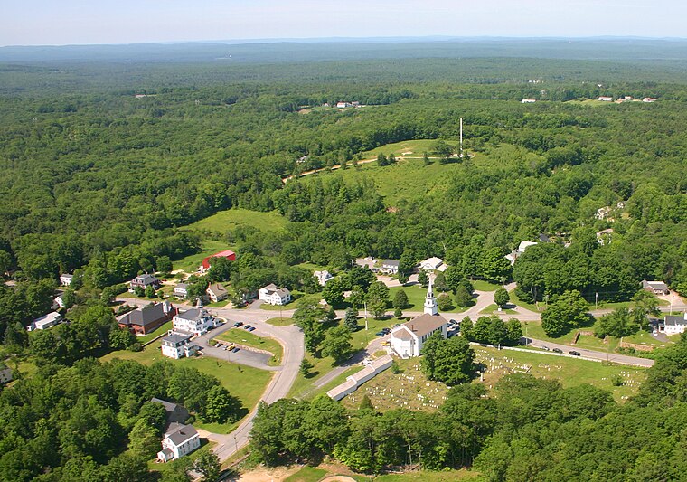
Photo: Carju451, Public domain.
Rindge is a town in Cheshire County, New Hampshire, United States. The population was 6,476 at the 2020 census, up from 6,014 at the 2010 census. Rindge is home to Franklin Pierce University, the Cathedral of the Pines and part of Annett State Forest.
Mattabaseck Wildlife Corridor
- Type: Nature reserve
- Category: recreation area
- Location: Town of Rindge, Cheshire County, New Hampshire, New England, United States, North America
- View on OpenStreetMap
Latitude
42.759° or 42° 45′ 32″ northLongitude
-71.9596° or 71° 57′ 35″ westOpen location code
87JCQ25R+J4OpenStreetMap ID
way 1409584936OpenStreetMap feature
leisure=nature_reserve
This page is based on OpenStreetMap, Wikidata, and Wikimedia Commons.
We’d love your help improving our open data sources. Thank you for contributing.
Satellite Map
Discover Mattabaseck Wildlife Corridor from above in high-definition satellite imagery.
Localities in the Area
Explore places such as Cutter Hill and Converseville.
Notable Places Nearby
Highlights include Rindge Sand and Gravel and Christian Outreach.
New Hampshire: Must-Visit Destinations
Delve into Concord, Manchester, Nashua, and Portsmouth.
Curious Nature Reserves to Discover
Uncover intriguing nature reserves from every corner of the globe.
About Mapcarta. Data © OpenStreetMap contributors and available under the Open Database License". Text is available under the CC BY-SA 4.0 license, except for photos, directions, and the map. Photo: Wikimedia, CC0.