Archaeological site of Terpni
Archaeological site of Terpni is an archaeological site in Visaltia, Sérres, Central Macedonia. Archaeological site of Terpni is situated nearby to the town Nigrita, as well as near the village Agia Paraskevi.| Tap on a place to explore it |
Places in the Area
Nearby places include Terpni and Nigrita.
Terpni
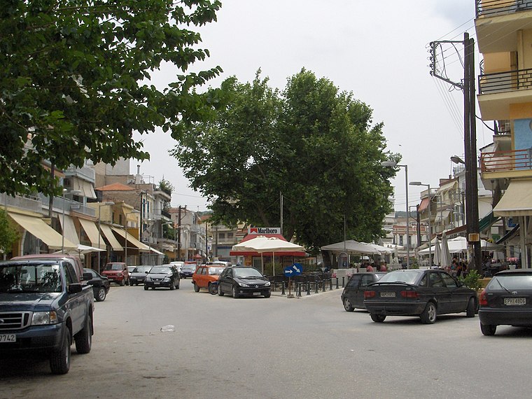
Town

Photo: Βισαλτης, CC BY-SA 2.5.
Terpni is a small town in the Serres regional unit, Greece. Since the 2011 local government reform it is a municipal unit of the municipality of Visaltia, whose seat is in Nigrita. It has a population of 1,593 inhabitants and until 1928 was named Tserpista. Terpni is situated 3½ km northeast of Archaeological site of Terpni.
Nigrita
Town
 Nigrita is a city and a municipality in the Serres regional unit, Macedonia, Greece. Since the 2011 local government reform it is part of the municipality Visaltia, of which it is the seat and a municipal unit. Nigrita is situated 4½ km east of Archaeological site of Terpni.
Agia Paraskevi
Village
Agia Paraskevi is a village in the region of Serres, northern Greece. According to the 2021 Greek census, the village had 380 inhabitants. Agia Paraskevi is situated 5 km north of Archaeological site of Terpni.
Archaeological site of Terpni
- Type: Archaeological site
- Also known as: “Terpni archaeological site” and “Terpni Paliokastro excavation”
- Categories: historic site, tourist attraction, and tourism
- Location: Visaltia, Sérres, Central Macedonia, Greece, Balkans, Europe
- View on OpenStreetMap
Latitude
40.90532° or 40° 54′ 19″ northLongitude
23.44598° or 23° 26′ 46″ eastOpen location code
8GG5WC4W+49OpenStreetMap ID
way 1416106699OpenStreetMap feature
historic=archaeological_siteWikidata ID
Q135426841
This page is based on OpenStreetMap, Wikidata, and Wikimedia Commons.
We’d love your help improving our open data sources. Thank you for contributing.
Satellite Map
Discover Archaeological site of Terpni from above in high-definition satellite imagery.
Notable Places Nearby
Highlights include Church of Agios Dimitrios and Πυροσβεστικό Κλιμάκιο Νιγρίτας.
Nearby Places
Explore places such as ΑΡΓΩ and Ελαστικά Μιχαλάκης Ιωάννης.
Greece: Must-Visit Destinations
Delve into Athens, Thessaloniki, Lesvos, and Arcadia.
Curious Archaeological Sites to Discover
Uncover intriguing archaeological sites from every corner of the globe.
About Mapcarta. Data © OpenStreetMap contributors and available under the Open Database License". Text is available under the CC BY-SA 4.0 license, except for photos, directions, and the map. Photo: Wikimedia, CC0.