Zeche Amalie
Zeche Amalie is a building in Essen, Düsseldorf, North Rhine-Westphalia. Zeche Amalie is situated nearby to the lake Kruppsee, as well as near the scenic viewpoint Krupp Park.| Tap on a place to explore it |
Places of Interest Nearby
Highlights include Krupp-Park and St. Mariä Himmelfahrt (Essen).
Krupp-Park
Park

Photo: Wiki05, Public domain.
Krupp-Park is situated 580 metres south of Zeche Amalie.
St. Mariä Himmelfahrt (Essen)
Church
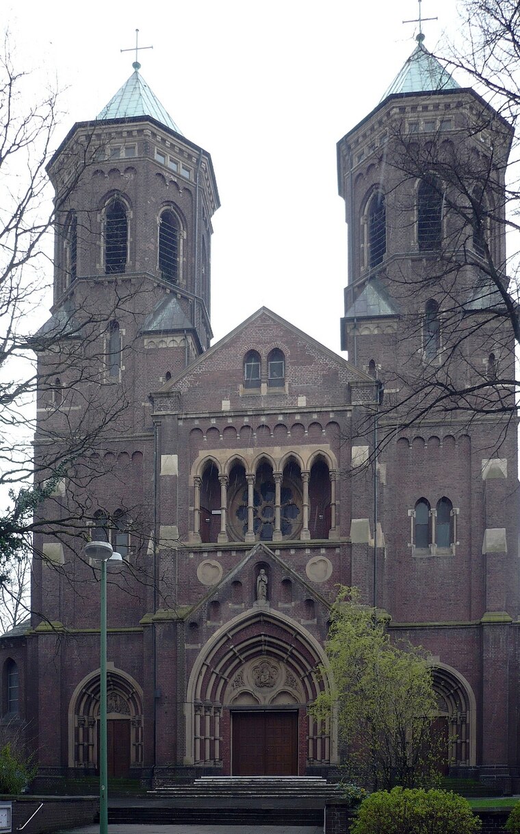
Photo: Wiki05, Public domain.
St. Mariä Himmelfahrt (Essen) is a church, which is situated 760 metres southwest of Zeche Amalie.
Tiegelgussdenkmal

Photo: Arnoldius, CC BY-SA 3.0.
Tiegelgussdenkmal is situated 1 km southeast of Zeche Amalie.
Places in the Area
Nearby places include Bochold and Bergeborbeck.
Bochold
Suburb
Bochold is a northwestern borough of the city of Essen, Germany. It was incorporated into the city in 1915. Before it had been part of the Bürgermeisterei Borbeck.
Bergeborbeck
Suburb
Bergeborbeck is a northern borough of the city of Essen, Germany, with a population of around 4,400. It was incorporated into the city in 1915, having previously been part of the Bürgermeisterei Borbeck.
Borbeck-Mitte
Suburb

Photo: Wikimedia, CC BY-SA 3.0.
Borbeck-Mitte is the central borough of Borbeck, the fourth suburban district of Essen, Germany. Together with the other boroughs of the district, it was incorporated on April 1, 1915. Borbeck-Mitte is situated 2½ km west of Zeche Amalie.
Zeche Amalie
- Type: Building
- Location: Essen, Düsseldorf, Ruhr, North Rhine-Westphalia, Germany, Central Europe, Europe
- View on OpenStreetMap
Latitude
51.46789° or 51° 28′ 4″ northLongitude
6.9854° or 6° 59′ 7″ eastOperator
RAGOpen location code
9F38FX9P+55OpenStreetMap ID
way 141681543OpenStreetMap feature
building=yesOpenStreetMap feature
man_made=mineshaft
This page is based on OpenStreetMap, Wikidata, and Wikimedia Commons.
We’d love your help improving our open data sources. Thank you for contributing.
Satellite Map
Discover Zeche Amalie from above in high-definition satellite imagery.
Notable Places Nearby
Highlights include Krupp Park and Kruppsee.
Nearby Places
Explore places such as Schacht Amalie and Zeche Amalie.
Ruhr: Must-Visit Destinations
Delve into Dortmund, Duisburg, Bochum, and Gelsenkirchen.
Curious Buildings to Discover
Uncover intriguing buildings from every corner of the globe.
About Mapcarta. Data © OpenStreetMap contributors and available under the Open Database License". Text is available under the CC BY-SA 4.0 license, except for photos, directions, and the map. Photo: Tuxyso, CC BY-SA 3.0.