Arena Süd
Arena Süd is a building in Munich, Upper Bavaria, Bavaria. Arena Süd is situated nearby to the health club body + soul Hirschgarten, as well as near the park Neue Postwiese.| Tap on a place to explore it |
Places of Interest Nearby
Highlights include Munich Hirschgarten station and Friedenheimer Brücke.
Munich Hirschgarten station
Railway stop
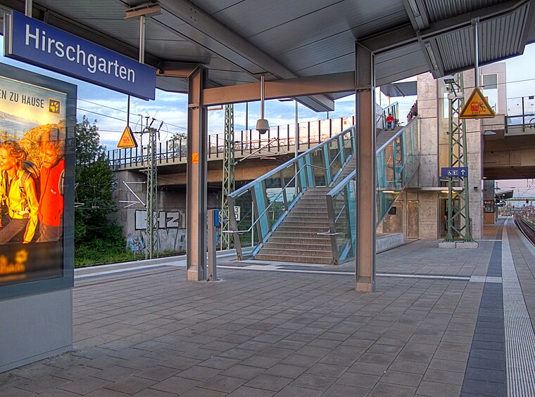
Photo: Richard Huber, CC BY-SA 3.0.
Munich Hirschgarten is a Munich S-Bahn railway station on the main line between Laim and Donnersbergerbrücke railway stations at Friedenheimer Brücke. It was opened in December 2009 and provides transportation access for the new quarter under development at Birketweg nearby. Munich Hirschgarten station is situated 280 metres west of Arena Süd.
Friedenheimer Brücke
Bridge

Photo: Michael.medvinskiy, CC BY-SA 4.0.
Friedenheimer Brücke is a bridge, which is situated 330 metres southwest of Arena Süd.
Munich Donnersbergerbrücke station
Railway station

Photo: Usien, CC BY-SA 3.0.
Munich Donnersbergerbrücke station is a station with four platform tracks in the Schwanthalerhöhe district of the Bavarian state capital of Munich and a hub of the Munich S-Bahn. Munich Donnersbergerbrücke station is situated 1 km east of Arena Süd.
Places in the Area
Nearby places include Postversuchssiedlung and Neuhausen Estate.
Postversuchssiedlung
Neighborhood

Photo: AHert, CC BY-SA 3.0.
Postversuchssiedlung is a neighborhood.

Neuhausen-Nymphenburg
Suburb

Photo: Tbp386, CC BY-SA 3.0.
Northern Munich is a large expanse of the city of Munich bounded to the north by A99 autobahn, to the east by the river Isar, and to the west and south by the railway tracks running from the airport to city centre.
Arena Süd
- Type: Canopy
- Category: building
- Location: Munich, Upper Bavaria, Bavaria, Germany, Central Europe, Europe
- View on OpenStreetMap
Latitude
48.14441° or 48° 8′ 40″ northLongitude
11.52304° or 11° 31′ 23″ eastOpen location code
8FWH4GVF+Q6OpenStreetMap ID
way 1418115561OpenStreetMap feature
building=roof
This page is based on OpenStreetMap, Wikidata, and Wikimedia Commons.
We’d love your help improving our open data sources. Thank you for contributing.
Satellite Map
Discover Arena Süd from above in high-definition satellite imagery.
Notable Places Nearby
Highlights include body + soul Hirschgarten and Neue Postwiese.
Nearby Places
Explore places such as Arena and Küche.
Munich: Must-Visit Destinations
Delve into North Munich, Altstadt, Haidhausen, and Ludwigsvorstadt-Isarvorstadt.
Curious Places to Discover
Uncover intriguing places from every corner of the globe.
About Mapcarta. Data © OpenStreetMap contributors and available under the Open Database License". Text is available under the CC BY-SA 4.0 license, except for photos, directions, and the map. Photo: Heav84, CC BY-SA 3.0.