Blocks 10 and 11
Blocks 10 and 11 is an apartment building in Mellieħa, Malta Island. Blocks 10 and 11 is situated nearby to Air raid shelter, as well as near the hotel Luna Holiday Complex.| Tap on a place to explore it |
Places of Interest Nearby
Highlights include Sanctuary of Our Lady of Mellieħa and Għadira Nature Reserve.
Sanctuary of Our Lady of Mellieħa
Church

Photo: Marika Caruana, CC BY-SA 4.0.
The Sanctuary of Our Lady of Mellieħa is a Roman Catholic church in the village of Mellieħa in Malta. The sanctuary originated as a natural cave which was consecrated as a church at an unknown date, and local traditions link its establishment to antiquity or the medieval period. Sanctuary of Our Lady of Mellieħa is situated 630 metres southwest of Blocks 10 and 11.
Għadira Nature Reserve
Nature reserve

Photo: Denis Barthel, CC BY-SA 3.0.
Għadira also known as Għadira Nature Reserve is a protected area located in the locality of Mellieħa, Malta. It comprises a brackish lake and a salt marsh habitat.
Għadira Bay
Beach

Photo: Wikimedia, CC BY-SA 3.0.
Għadira Bay is a beach, which is situated 1½ km northwest of Blocks 10 and 11.
Places in the Area
Nearby places include Xemxija and Manikata.
Xemxija
Village

Photo: Felix Koenig, CC BY 3.0.
Xemxija is a suburb in the western part of St. Paul's Bay in the Northern Region of Malta. It is surrounded by countryside and contains two bays, the titular Xemxija Bay and Mistra Bay, located just north of the parish church. Xemxija is situated 2½ km southeast of Blocks 10 and 11.
Manikata
Village

Photo: Sudika, CC BY-SA 3.0.
Manikata is a small settlement in the limits of Mellieħa in the northwestern part of Malta. It oversees the farming areas in the valley between il-Ballut and il-Manikata. The village's population of 539 is spread among 40 families. Manikata is situated 3 km south of Blocks 10 and 11.
St. Paul’s Bay
Town
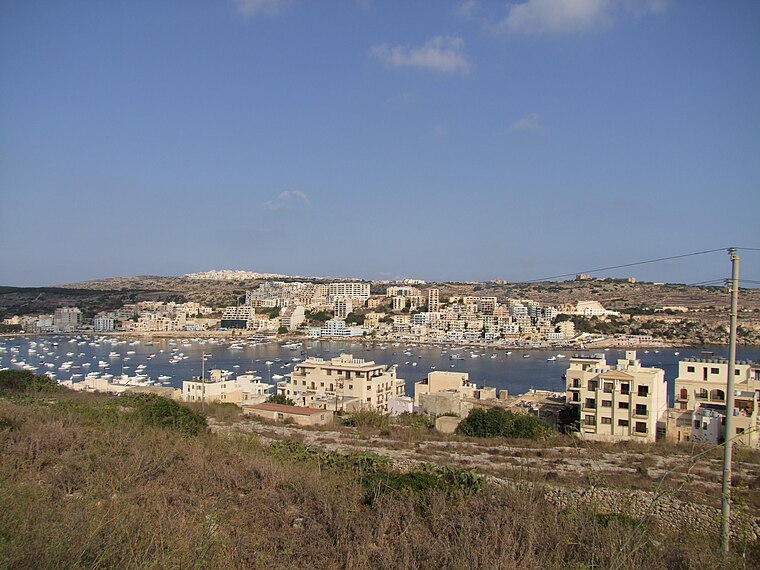
Photo: Yarah, CC BY-SA 3.0.
Saint Paul's Bay is a town located on the northeast coast of Malta in the Northern Region. It is a major residential and commercial area and a centre for shopping, bars, dining, and café life. St. Paul’s Bay is situated 3½ km southeast of Blocks 10 and 11.
Blocks 10 and 11
- Type: Apartment building
- Categories: building and residential building
- Location: Mellieħa, Malta Island, Malta, Europe
- View on OpenStreetMap
Latitude
35.96545° or 35° 57′ 56″ northLongitude
14.36427° or 14° 21′ 51″ eastOpen location code
8F7PX987+5POpenStreetMap ID
way 1419154785OpenStreetMap feature
building=apartments
This page is based on OpenStreetMap, Wikidata, and Wikimedia Commons.
We’d love your help improving our open data sources. Thank you for contributing.
Satellite Map
Discover Blocks 10 and 11 from above in high-definition satellite imagery.
Notable Places Nearby
Highlights include Air raid shelter and Ġnien Ħidmet il-Volontarjat.
Nearby Places
Explore places such as Block 8 and Block 9.
Malta Island: Must-Visit Destinations
Delve into Valletta, Mdina, Sliema, and St. Julian’s.
Curious Apartment Buildings to Discover
Uncover intriguing apartment buildings from every corner of the globe.
About Mapcarta. Data © OpenStreetMap contributors and available under the Open Database License". Text is available under the CC BY-SA 4.0 license, except for photos, directions, and the map. Photo: Lifeboatsrule, CC BY-SA 3.0.