Arcadia Commons
Arcadia Commons is a residential area in Staten Island, New York. Arcadia Commons is situated nearby to the museum The Scott-Edwards House, as well as near Monsignor Haverty Chapel.| Tap on a place to explore it |
Places of Interest Nearby
Highlights include Staten Island Zoo and Temple Emanu-El.
Staten Island Zoo
Zoo

Photo: Jim.henderson, CC0.
The Staten Island Zoo is an 8-acre urban zoo in West New Brighton, Staten Island, New York City. The zoo is open year-round except on Thanksgiving, Christmas, and New Year's Day. It has been accredited by the Association of Zoos and Aquariums since 1988. Staten Island Zoo is situated 2,400 feet southeast of Arcadia Commons.
Temple Emanu-El
Synagogue

Photo: Jim.henderson, CC0.
Temple Emanu-El is a Conservative synagogue located in the Port Richmond neighborhood of Staten Island, New York City, New York, United States. Designed by Pelcher and Zobel and constructed in 1907, the synagogue building was listed on the National Register of Historic Places in 2007. Temple Emanu-El is situated 3,100 feet northwest of Arcadia Commons.
Sacred Heart Church
Church

Photo: Jim.henderson, CC0.
The Church of the Sacred Heart is a Roman Catholic parish church under the authority of the Roman Catholic Archdiocese of New York, located in Staten Island, New York City. Sacred Heart Church is situated 3,400 feet northeast of Arcadia Commons.
Places in the Area
Nearby places include Westerleigh and West New Brighton.
Westerleigh
Neighborhood
Westerleigh is a residential neighborhood in the north-western part of Staten Island in New York City.
West New Brighton
Neighborhood
West New Brighton is a neighborhood of Staten Island, New York City, situated in the central area of North Shore. The neighborhood is bordered by New Brighton to the east, Port Richmond to the west, the waters of the Kill Van Kull to the north, and the communities of Sunnyside and Castleton Corners to the south.
Port Richmond
Neighborhood
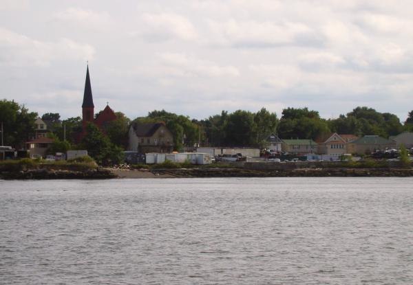
Photo: Decumanus, CC BY-SA 3.0.
Port Richmond is a neighborhood situated on the North Shore of Staten Island, a borough of New York City. Port Richmond is bounded by Kill van Kull on the north, Clove Road on the east, Forest Avenue on the south, and the Bayonne Bridge on the west.
Arcadia Commons
- Type: Residential area
- Location: Staten Island, New York, Mid-Atlantic, United States, North America
- View on OpenStreetMap
Latitude
40.62835° or 40° 37′ 42″ northLongitude
-74.12346° or 74° 7′ 25″ westOpen location code
87G7JVHG+8JOpenStreetMap ID
way 1420271014OpenStreetMap feature
landuse=residential
This page is based on OpenStreetMap, Wikidata, and Wikimedia Commons.
We’d love your help improving our open data sources. Thank you for contributing.
Satellite Map
Discover Arcadia Commons from above in high-definition satellite imagery.
Places with the Same Name
Discover other places named “Arcadia Commons”.
Notable Places Nearby
Highlights include The Scott-Edwards House and Monsignor Haverty Chapel.
Nearby Places
Explore places such as Arcadia Gardens and Troost Bros. Inc.
New York: Must-Visit Destinations
Delve into New York City, Buffalo, Manhattan, and West Side.
Curious Residential Areas to Discover
Uncover intriguing residential areas from every corner of the globe.
About Mapcarta. Data © OpenStreetMap contributors and available under the Open Database License". Text is available under the CC BY-SA 4.0 license, except for photos, directions, and the map. Photo: Jjtkk, Public domain.