Hauptwache Schwerte-Mitte
Hauptwache Schwerte-Mitte is a fire station in Schwerte, Unna, North Rhine-Westphalia which is located on Lohbachstraße. Hauptwache Schwerte-Mitte is situated nearby to the pitch Schützenhof, as well as near the church Paul-Gerhardt-Haus.| Tap on a place to explore it |
Places of Interest Nearby
Highlights include Marienkrankenhaus Schwerte and Ruhrtalmuseum.
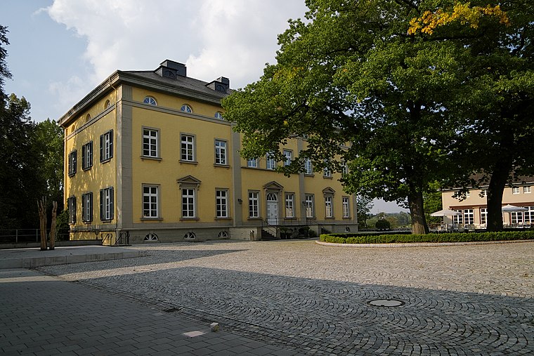
Marienkrankenhaus Schwerte
Hospital

Photo: Kogge, CC BY-SA 3.0.
Marienkrankenhaus Schwerte is a hospital, which is situated 1 km west of Hauptwache Schwerte-Mitte.
Ruhrtalmuseum
Museum

Photo: Wikimedia, Public domain.
Ruhrtalmuseum is situated 1 km southwest of Hauptwache Schwerte-Mitte.
St.-Victor- church
Church

Photo: Wikimedia, Public domain.
St.-Victor- church is situated 1 km southwest of Hauptwache Schwerte-Mitte.
Places in the Area
Nearby places include Villigst and Geisecke.
Villigst
Suburb
 Villigst is a Stadtteil of the city Schwerte in North Rhine-Westphalia, Germany. On 31 December 2012, Villigst had a population of 3.309 inhabitants. It lies south of the river Ruhr near Sauerland.
Geisecke
Suburb

Photo: Gereon K., CC BY-SA 3.0.
Geisecke is a city district of the city Schwerte in North Rhine-Westphalia, Germany. On 31 December 2012, it had a population of 3,009 inhabitants. Geisecke is located north of the Ruhr near the Sauerland. Geisecke is situated 3 km northeast of Hauptwache Schwerte-Mitte.
Lichtendorf
Suburb
 Lichtendorf is a suburb, which is situated 3½ km north of Hauptwache Schwerte-Mitte.
Hauptwache Schwerte-Mitte
- Type: Fire station
- Address: Lohbachstraße 8, Schwerte, 58239
- Location: Schwerte, Unna, Arnsberg, North Rhine-Westphalia, Germany, Central Europe, Europe
- View on OpenStreetMap
Latitude
51.44689° or 51° 26′ 49″ northLongitude
7.5803° or 7° 34′ 49″ eastOperator
Feuerwehr SchwerteOpen location code
9F39CHWJ+Q4OpenStreetMap ID
way 1422919137OpenStreetMap feature
amenity=fire_station
This page is based on OpenStreetMap, Wikidata, and Wikimedia Commons.
We’d love your help improving our open data sources. Thank you for contributing.
Satellite Map
Discover Hauptwache Schwerte-Mitte from above in high-definition satellite imagery.
Notable Places Nearby
Highlights include Schützenhof and Paul-Gerhardt-Haus.
Nearby Places
Explore places such as DRK Schwerte MTD and Olympia Grill.
North Rhine-Westphalia: Must-Visit Destinations
Delve into Cologne, Düsseldorf, Bonn, and Dortmund.
Curious Fire Stations to Discover
Uncover intriguing fire stations from every corner of the globe.
About Mapcarta. Data © OpenStreetMap contributors and available under the Open Database License". Text is available under the CC BY-SA 4.0 license, except for photos, directions, and the map. Photo: Daniel Schwen, CC BY-SA 2.5.