Station Im Kleinen Felde
Station Im Kleinen Felde is an electrical substation in Waake, Göttingen, Lower Saxony. Station Im Kleinen Felde is situated nearby to the village Bösinghausen, as well as near the peak Lukasberg.| Tap on a place to explore it |
Places of Interest Nearby
Highlights include Hünstollen and European Bread Museum.

European Bread Museum
Museum

Photo: Schnute22, CC BY-SA 3.0.
The European Bread Museum, in Ebergötzen in South Lower Saxony, Germany, is a rurally located museum dedicated to the historical development of breadmaking and related subjects in Europe. European Bread Museum is situated 2½ km east of Station Im Kleinen Felde.
Mäuseturm

Photo: Ramessos, Public domain.
Mäuseturm is situated 2½ km north of Station Im Kleinen Felde.
Places in the Area
Nearby places include Bösinghausen and Roringen.

Roringen
Suburb
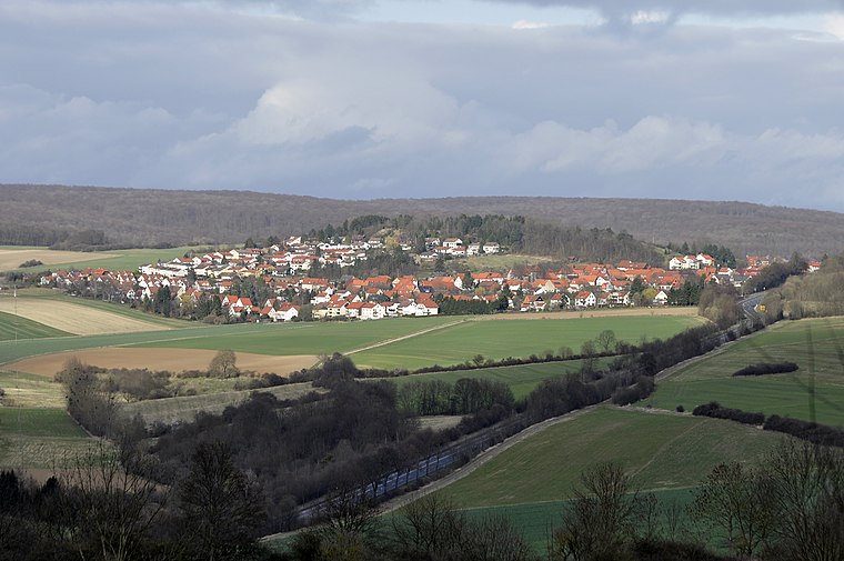 Roringen is a village in the borough of Göttingen, Germany. High on a hill, it is separated from the city proper some 51⁄2 km to the south-west by farmlands and part of the Göttingen Forest. Roringen is situated 4 km west of Station Im Kleinen Felde.
Spanbeck
Village

Photo: Dehio, CC BY-SA 3.0.
Spanbeck is a village, which is situated 5 km north of Station Im Kleinen Felde.
Station Im Kleinen Felde
- Type: Electrical substation
- Category: industry
- Location: Waake, Göttingen, Lower Saxony, Germany, Central Europe, Europe
- View on OpenStreetMap
Latitude
51.56549° or 51° 33′ 56″ northLongitude
10.06212° or 10° 3′ 44″ eastOpen location code
9F3GH386+5ROpenStreetMap ID
way 1423698386OpenStreetMap feature
man_made=street_cabinet
This page is based on OpenStreetMap, Wikidata, and Wikimedia Commons.
We’d love your help improving our open data sources. Thank you for contributing.
Satellite Map
Discover Station Im Kleinen Felde from above in high-definition satellite imagery.
Notable Places Nearby
Highlights include Lukasberg and Pleurotus ostreatus.
Nearby Places
Explore places such as Amtliche Bekanntmachungen Gemeinde Waake Ortsteil Bösinghausen and Bösinghausen Ortsmitte.
Lower Saxony: Must-Visit Destinations
Delve into Hanover, Göttingen, Brunswick, and Wolfsburg.
Curious Electrical Substations to Discover
Uncover intriguing electrical substations from every corner of the globe.
About Mapcarta. Data © OpenStreetMap contributors and available under the Open Database License". Text is available under the CC BY-SA 4.0 license, except for photos, directions, and the map. Photo: Danapit, CC BY-SA 3.0.