Cantera de Los Pacos
Cantera de Los Pacos is a quarry in Fuengirola, Costa del Sol, Andalusia. Cantera de Los Pacos is situated nearby to the park Parque La Cantera, as well as near the playground Las Canteras.| Tap on a place to explore it |
Places of Interest Nearby
Highlights include Finca del Secretario and Torreblanca train station.
Finca del Secretario
Archaeological site

Photo: Tyk, CC BY-SA 4.0.
Finca del Secretario is an archaeological site, which is situated 1 km southeast of Cantera de Los Pacos.
Torreblanca train station
Railway stop
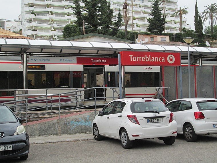
Photo: Tyk, CC BY-SA 3.0.
Torreblanca train station is a railway stop, which is situated 1 km east of Cantera de Los Pacos.
Torre Blanca
Monument

Photo: Pedro J Pacheco, CC BY-SA 4.0.
Torre Blanca is a monument, which is situated 1 km southeast of Cantera de Los Pacos.
Places in the Area
Nearby places include Torreblanca and Mijas.

Mijas
 Mijas is a town and municipality in the Costa del Sol in southern Spain. It consists of Mijas Pueblo a typically Andalusian white-washed village at the mountain side of Sierra de Mijas 428 m above mean sea level.
Benalmádena

Photo: Tyk, CC BY-SA 3.0.
Benalmádena is a town of 68,000 people on the Spanish Costa del Sol. It consists of three parts; Benalmádena Pueblo, Arroyo de la Miel and Benalmádena Costa.
Cantera de Los Pacos
- Type: Quarry
- Category: industry
- Location: Fuengirola, Costa del Sol, Málaga, Andalusia, Spain, Iberia, Europe
- View on OpenStreetMap
Latitude
36.5663° or 36° 33′ 59″ northLongitude
-4.61785° or 4° 37′ 4″ westOpen location code
8C8QH98J+GVOpenStreetMap ID
way 1425229961OpenStreetMap feature
landuse=quarry
This page is based on OpenStreetMap, Wikidata, and Wikimedia Commons.
We’d love your help improving our open data sources. Thank you for contributing.
Satellite Map
Discover Cantera de Los Pacos from above in high-definition satellite imagery.
Notable Places Nearby
Highlights include Parque La Cantera and Las Canteras.
Nearby Places
Explore places such as El Jamón and Camino de la Cantera - Supermercado El Jamón.
Costa del Sol: Must-Visit Destinations
Delve into Marbella, Benalmádena, Torremolinos, and Mijas.
Curious Quarries to Discover
Uncover intriguing quarries from every corner of the globe.
About Mapcarta. Data © OpenStreetMap contributors and available under the Open Database License". Text is available under the CC BY-SA 4.0 license, except for photos, directions, and the map. Photo: Wikimedia, CC0.