Chimborazo Playground
Chimborazo Playground is a park in Richmond, Central Virginia, Virginia. Chimborazo Playground is situated nearby to the archaeological site Church Hill Tunnel, as well as near Asbury Church Hill United Methodist Church.| Tap on a place to explore it |
Places of Interest Nearby
Highlights include Church Hill Tunnel and Chimborazo Medical Museum.
Church Hill Tunnel
Archaeological site

Photo: Jkmscott, CC BY-SA 3.0.
Church Hill Tunnel is an old Chesapeake and Ohio Railway tunnel, built in the early 1870s, which extends approximately 4,000 feet under the Church Hill district of Richmond, Virginia, United States. Church Hill Tunnel is situated 370 feet south of Chimborazo Playground.
Chimborazo Medical Museum
Museum

Photo: Taber Andrew Bain, CC BY 2.0.
Chimborazo Medical Museum is situated 920 feet southeast of Chimborazo Playground.
Saint Johns Church
Church

Photo: Skyring, CC BY-SA 3.0.
St. John's Church is an Episcopal church located at 2401 East Broad Street in Richmond, Virginia, United States. Formed from several earlier parishes, St. Saint Johns Church is situated 1,800 feet northwest of Chimborazo Playground.
Places in the Area
Nearby places include Church Hill and Shockoe Bottom.
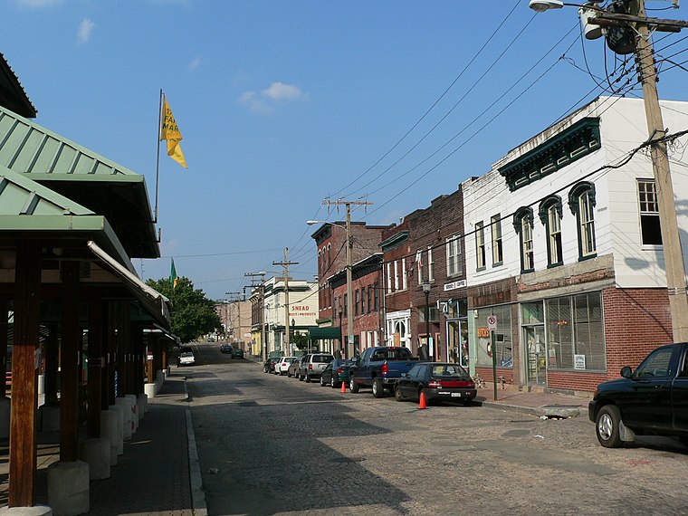
Church Hill
Quarter

Photo: Wikimedia, CC BY-SA 2.0.
Church Hill, also known as the St. John's Church Historic District, is an Old and Historic District in Richmond, Virginia. This district encompasses the original land plat of the city of Richmond.
Shockoe Bottom
Neighborhood
 Shockoe Bottom, historically known as Shockoe Valley, is an area in Richmond, Virginia, just east of downtown, along the James River. Located between Shockoe Hill and Church Hill, Shockoe Bottom contains much of the land included in Colonel William Mayo's 1737 plan of Richmond, making it one of the city's oldest neighborhoods.
East End

Photo: Billy Hathorn, CC BY-SA 3.0.
East End is a district in Richmond, Virginia. This includes historic neighborhoods in Richmond such as Church Hill, Fairmount, and Union Hill, more modern developments such as Fulton, Powhatan Hill, Fulton Hill, and Montrose Heights, and public housing communities such as Fairfield Court, Creighton Court, Whitcomb Court, and Mosby Court.
Chimborazo Playground
- Opening hours: sunrise—sunset
- Type: Park
- Category: recreation area
- Location: Richmond, Central Virginia, Virginia, South, United States, North America
- View on OpenStreetMap
Latitude
37.5282° or 37° 31′ 42″ northLongitude
-77.41489° or 77° 24′ 54″ westOpen location code
8794GHHP+72OpenStreetMap ID
way 1426691926OpenStreetMap feature
leisure=park
This page is based on OpenStreetMap, Wikidata, and Wikimedia Commons.
We’d love your help improving our open data sources. Thank you for contributing.
Satellite Map
Discover Chimborazo Playground from above in high-definition satellite imagery.
Notable Places Nearby
Highlights include Chimborazo Playground Community Garden and Asbury Church Hill United Methodist Church.
Nearby Places
Explore places such as Williamson-Allen House and Honey Baked Bee.
Richmond: Must-Visit Destinations
Delve into Downtown Richmond, Museum District, The Fan, and West End.
Curious Parks to Discover
Uncover intriguing parks from every corner of the globe.
About Mapcarta. Data © OpenStreetMap contributors and available under the Open Database License". Text is available under the CC BY-SA 4.0 license, except for photos, directions, and the map. Photo: jeff horne, CC BY 2.0.