Amazonia Houses
Amazonia Houses is a resort in Halbe, Dahme-Spreewald, Brandenburg which is located on Tropical-Islands-Allee. Amazonia Houses is situated nearby to the grassland Devil‘s Garden, as well as near the bowling alley OHANA Town.| Tap on a place to explore it |
Places of Interest Nearby
Highlights include Cargolifter hangar and Brand Tropical Islands station.
Cargolifter hangar
Theme park

Photo: Wikimedia, CC BY-SA 3.0.
Cargolifter hangar is a theme park, which is situated 520 metres west of Amazonia Houses.
Brand Tropical Islands station
Railway station

Photo: Clemensfranz, CC BY-SA 4.0.
Brand Tropical Islands station is a railway station in the municipality of Brand, located in the Dahme-Spreewald district in Brandenburg, Germany. Brand Tropical Islands station is situated 2½ km west of Amazonia Houses.
Luchsee
Lake

Photo: Botaurus, CC BY-SA 3.0.
Luchsee is a lake in Brandenburg, Germany. It lies at an elevation of 52.7 m and has a surface area is 7.2 ha. It is located in the municipality of Krausnick-Groß Wasserburg, close to the Krausnick hills. Luchsee is situated 2½ km east of Amazonia Houses.
Places in the Area
Nearby places include Brand (Halbe) and Briesen.
Brand (Halbe)
Hamlet
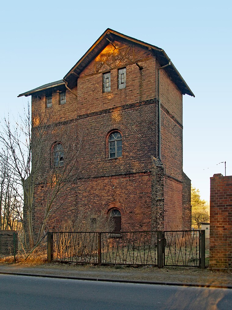
Photo: Oberlausitzerin64, CC BY-SA 4.0.
Brand (Halbe) is a hamlet, which is situated 2½ km west of Amazonia Houses.
Briesen
Village

Photo: Clemensfranz, CC BY-SA 3.0.
Briesen is a village, which is situated 3½ km northwest of Amazonia Houses.
Rietzneuendorf-Staakow
Village

Photo: Clemensfranz, CC BY-SA 3.0.
Rietzneuendorf-Staakow is a municipality in the district of Dahme-Spreewald in Brandenburg in Germany. Rietzneuendorf-Staakow is situated 4½ km west of Amazonia Houses.
Amazonia Houses
- Type: Resort
- Address: Tropical-Islands-Allee 1, Briesen, 15910
- Categories: tourism, chalet, recreation area, accommodation, and building
- Location: Halbe, Dahme-Spreewald, Brandenburg, Germany, Central Europe, Europe
- View on OpenStreetMap
Latitude
52.03835° or 52° 2′ 18″ northLongitude
13.75592° or 13° 45′ 21″ eastOperator
Tropical IslandsOpen location code
9F4M2QQ4+89OpenStreetMap ID
way 142708216OpenStreetMap feature
leisure=resortOpenStreetMap feature
tourism=chalet
This page is based on OpenStreetMap, Wikidata, and Wikimedia Commons.
We’d love your help improving our open data sources. Thank you for contributing.
Satellite Map
Discover Amazonia Houses from above in high-definition satellite imagery.
Notable Places Nearby
Highlights include Devil‘s Garden and OHANA Town.
Nearby Places
Explore places such as OHANA and Mondial Food Court.
Brandenburg: Must-Visit Destinations
Delve into Potsdam, Cottbus, Frankfurt an der Oder, and Brandenburg an der Havel.
Curious Resorts to Discover
Uncover intriguing resorts from every corner of the globe.
About Mapcarta. Data © OpenStreetMap contributors and available under the Open Database License". Text is available under the CC BY-SA 4.0 license, except for photos, directions, and the map. Photo: Leviathan1983, CC BY-SA 3.0.