Jardin Guillaumet - CEAT
Jardin Guillaumet - CEAT is a playground in Toulouse, Haute-Garonne, Occitanie. Jardin Guillaumet - CEAT is situated nearby to the government office Cité administrative, as well as near the sports venue Suzanne Liebrard.| Tap on a place to explore it |
Places of Interest Nearby
Highlights include The Church of Jesus Christ of Latter-day Saints and Gare de Toulouse-Matabiau.
The Church of Jesus Christ of Latter-day Saints
Church
 The Church of Jesus Christ of Latter-day Saints, informally known as the LDS Church or Mormon Church, is a nontrinitarian restorationist Christian denomination and the largest denomination in the Latter Day Saint movement. The Church of Jesus Christ of Latter-day Saints is situated 1 km northwest of Jardin Guillaumet - CEAT.
Gare de Toulouse-Matabiau
Railway station

Photo: Archaeodontosaurus, CC BY-SA 4.0.
Toulouse-Matabiau is the main railway station in Toulouse, southern France. It is in the city centre and connected to the Toulouse Metro. The station is situated on the Bordeaux–Sète railway, Toulouse–Bayonne railway, Brive–Toulouse railway and Toulouse–Auch railway. Gare de Toulouse-Matabiau is situated 1¼ km southwest of Jardin Guillaumet - CEAT.
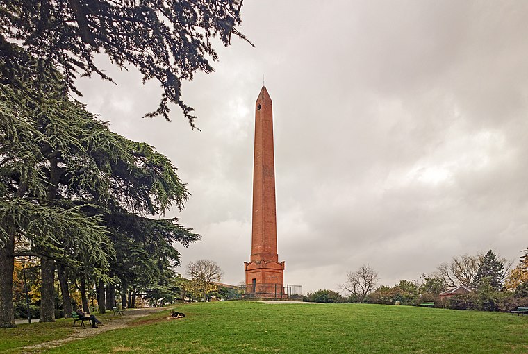
Jardin de l’Observatoire de Toulouse
Park

Photo: Archaeodontosaurus, CC BY-SA 4.0.
Jardin de l’Observatoire de Toulouse is a park, which is situated 620 metres southwest of Jardin Guillaumet - CEAT.
Places in the Area
Nearby places include Toulouse Jolimont and La Roseraie.


Jardin Guillaumet - CEAT
- Type: Playground
- Category: recreation area
- Location: Toulouse, Arrondissement of Toulouse, Haute-Garonne, Occitanie, France, Europe
- View on OpenStreetMap
Latitude
43.61614° or 43° 36′ 58″ northLongitude
1.46862° or 1° 28′ 7″ eastOpen location code
8FM3JF89+FCOpenStreetMap ID
way 1428377336OpenStreetMap feature
leisure=playground
This page is based on OpenStreetMap, Wikidata, and Wikimedia Commons.
We’d love your help improving our open data sources. Thank you for contributing.
Satellite Map
Discover Jardin Guillaumet - CEAT from above in high-definition satellite imagery.
Notable Places Nearby
Highlights include Cité administrative and Suzanne Liebrard.
Nearby Places
Explore places such as Association Guillaumet au jardin and Résidence Rive du Parc.
Haute-Garonne: Must-Visit Destinations
Delve into Boutx, Tarn, Roquesérière, and Pechbonnieu.
Curious Playgrounds to Discover
Uncover intriguing playgrounds from every corner of the globe.
About Mapcarta. Data © OpenStreetMap contributors and available under the Open Database License". Text is available under the CC BY-SA 4.0 license, except for photos, directions, and the map. Photo: PierreSelim, CC BY 3.0.