Vejbakker
Vejbakker is a forest in Syddjurs Municipality, Central Jutland. Vejbakker is situated nearby to the hamlet Sundby, as well as near Attrup.| Tap on a place to explore it |
Places of Interest
Highlights include Vedø Hovedgård and Koed Church.


Places in the Area
Nearby places include Kolind and Ryomgård.
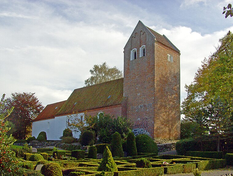
Kolind
Village
Kolind is a railway town, with a population of 1,913, in Syddjurs Municipality, Central Denmark Region in Denmark. Kolind was the municipal seat of the former Midtdjurs Municipality until 1 January 2007.
Ryomgård
Village

Photo: Hubertus, CC BY-SA 2.5.
Ryomgård is a Danish country town with a population of 2,743 located 29 kilometers north east of to the country’s second largest city Aarhus. As such Ryomgård is in part a pendler town to Aarhus.
Nimtofte
Village

Photo: Beethoven9, CC BY-SA 4.0.
Nimtofte is a village, with a population of 582, in Syddjurs Municipality, Central Denmark Region in Denmark. It is located 6 km northeast of Ryomgård, 37 km east of Randers, 23 km west of Grenaa and 29 km north of Ebeltoft.
Vejbakker
- Type: Forest
- Location: Syddjurs Municipality, Central Jutland, Denmark, Nordic countries, Europe
- View on OpenStreetMap
Latitude
56.3888° or 56° 23′ 20″ northLongitude
10.5899° or 10° 35′ 24″ eastOpen location code
9F8G9HQQ+GWOpenStreetMap ID
way 1431729242OpenStreetMap feature
landuse=forest
This page is based on OpenStreetMap, Wikidata, and Wikimedia Commons.
We’d love your help improving our open data sources. Thank you for contributing.
Satellite Map
Discover Vejbakker from above in high-definition satellite imagery.
Localities in the Area
Explore places such as Sundby and Attrup.
Notable Places Nearby
Highlights include Vedø Plantage and Ødals Bakke.
Denmark: Must-Visit Destinations
Delve into Copenhagen, Aarhus, Odense, and Aalborg.
Curious Forests to Discover
Uncover intriguing forests from every corner of the globe.
About Mapcarta. Data © OpenStreetMap contributors and available under the Open Database License". Text is available under the CC BY-SA 4.0 license, except for photos, directions, and the map. Photo: Wikimedia, CC BY-SA 3.0.