KITA - Lumper Höhe
KITA - Lumper Höhe is in Ravensburg, Tübingen Region, Baden-Württemberg. KITA - Lumper Höhe is situated nearby to the pitch Altes Eisstadion, as well as near the playground Wasserspiel.| Tap on a place to explore it |
Places of Interest Nearby
Highlights include Pfarrkirche St. Christina and Veitsburg.
Pfarrkirche St. Christina
Church
 Pfarrkirche St. Christina is a church, which is situated 340 metres west of KITA - Lumper Höhe.
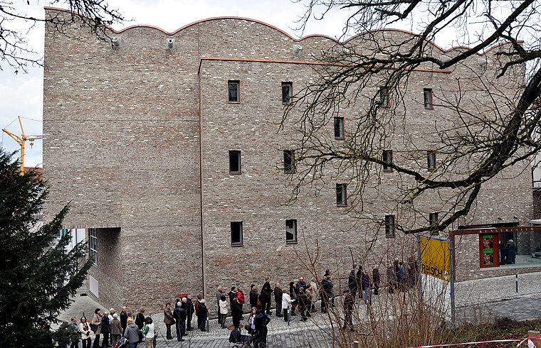
Veitsburg
Castle

Photo: Wikimedia, Public domain.
Veitsburg is a castle, which is situated 460 metres northwest of KITA - Lumper Höhe.
Kunstmuseum Ravensburg
Museum
 Kunstmuseum Ravensburg is situated 720 metres northwest of KITA - Lumper Höhe.
Places in the Area
Nearby places include Oberzell and Grünkraut.
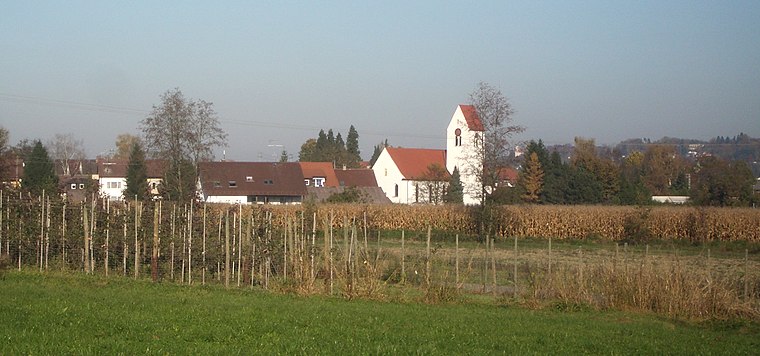
Grünkraut
Village

Photo: Roland Nonnenmacher, CC BY-SA 3.0.
Grünkraut is a town in the district of Ravensburg in Baden-Württemberg in Germany. Grünkraut is situated 4½ km southeast of KITA - Lumper Höhe.

KITA - Lumper Höhe
Latitude
47.77474° or 47° 46′ 29″ northLongitude
9.62028° or 9° 37′ 13″ eastOpen location code
8FVFQJFC+V4OpenStreetMap ID
way 1433758006OpenStreetMap feature
landuse=construction
This page is based on OpenStreetMap, Wikidata, and Wikimedia Commons.
We’d love your help improving our open data sources. Thank you for contributing.
Satellite Map
Discover KITA - Lumper Höhe from above in high-definition satellite imagery.
Notable Places Nearby
Highlights include Altes Eisstadion and Wasserspiel.
Nearby Places
Explore places such as B1 and A2.
Bodensee Region: Must-Visit Destinations
Delve into Konstanz, Friedrichshafen, Sigmaringen, and Überlingen.
Curious Places to Discover
Uncover intriguing places from every corner of the globe.
About Mapcarta. Data © OpenStreetMap contributors and available under the Open Database License". Text is available under the CC BY-SA 4.0 license, except for photos, directions, and the map. Photo: Wikimedia, CC BY 3.0.