Evonik Active Oxygens
Evonik Active Oxygens is a factory in Shelby, Tennessee. Evonik Active Oxygens is situated nearby to the aerodrome General DeWitt Spain Airport, as well as near the suburb Harbor Town.| Tap on a place to explore it |
Places of Interest Nearby
Highlights include General DeWitt Spain Airport and Burkle Estate.
General DeWitt Spain Airport
Aerodrome

Photo: Wikimedia, Public domain.
General DeWitt Spain Airport is a civil, public airport located five miles northwest of the central business district of Memphis, a city in Shelby County, Tennessee, United States. It is owned and operated by the Memphis - Shelby County Airport Authority.
Burkle Estate
Museum

Photo: Wikimedia, CC BY-SA 3.0.
The Burkle Estate is a historic home at 826 North Second Street in Memphis, Tennessee. It is also known as the Slavehaven. Although disputed by some historians, the Burkle Estate is claimed to have been part of the Underground Railroad – a secret network of way stations to help slaves escape to freedom in the northern states. Burkle Estate is situated 2 miles south of Evonik Active Oxygens.
Memphis Pyramid
Retail building

Photo: Wikimedia, CC BY-SA 2.5.
The Memphis Pyramid, formerly known as the Great American Pyramid and the Pyramid Arena, and colloquially known as the Bass Pro Shops Pyramid, is a pyramid-shaped building located in downtown Memphis, Tennessee, United States, at the bank of the Mississippi River. Memphis Pyramid is situated 2½ miles south of Evonik Active Oxygens.
Places in the Area
Nearby places include Harbor Town and Frayser.
Harbor Town
Suburb
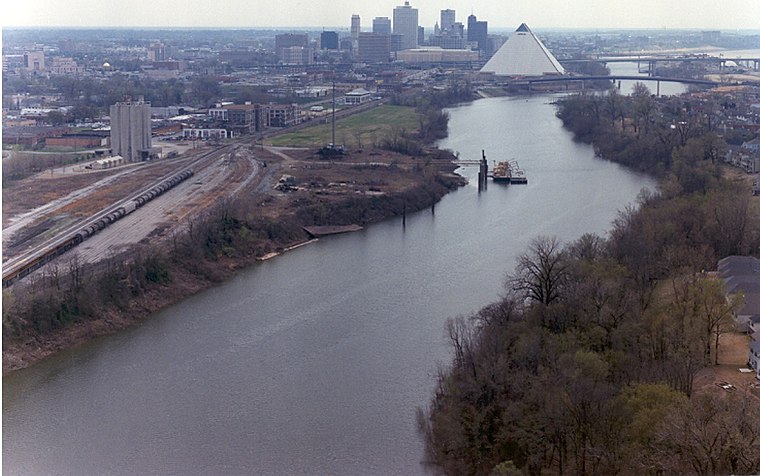
Photo: Wikimedia, Public domain.
Harbor Town is a new urbanist-style neighborhood in Memphis, Tennessee. Harbor Town sits atop 132 acres on a sandbar in the Mississippi River known as Mud Island.
Frayser
Suburb
 Frayser is a neighborhood on the north side of Memphis, Tennessee, United States. It is named after Memphis physician Dr. J Frayser, who owned a summer home near the railroad. Frayser is situated 3½ miles northeast of Evonik Active Oxygens.
Downtown Memphis
Suburb
Downtown Memphis is the central business district of Memphis, Tennessee, and is located along the Mississippi River between Interstate 40 to the north, Interstate 55 to the south, and Interstate 240 to the east, where it abuts Midtown Memphis. Downtown Memphis is situated 3½ miles south of Evonik Active Oxygens.
Evonik Active Oxygens
- Type: Factory
- Category: industry
- Location: Shelby, Tennessee, South, United States, North America
- View on OpenStreetMap
Latitude
35.18975° or 35° 11′ 23″ northLongitude
-90.05221° or 90° 3′ 8″ westOpen location code
867F5WQX+V4OpenStreetMap ID
way 1434884702OpenStreetMap feature
landuse=industrialOpenStreetMap feature
man_made=works
This page is based on OpenStreetMap, Wikidata, and Wikimedia Commons.
We’d love your help improving our open data sources. Thank you for contributing.
Satellite Map
Discover Evonik Active Oxygens from above in high-definition satellite imagery.
Notable Places Nearby
Highlights include City of Memphis Division of Fire Station 4 and Anderson-Tully County Airport.
Nearby Places
Explore places such as Wolf River Plant and Maynard C. Stiles Wastewater Treatment Plant.
Tennessee: Must-Visit Destinations
Delve into Nashville, Memphis, Knoxville, and Chattanooga.
Curious Factories to Discover
Uncover intriguing factories from every corner of the globe.
About Mapcarta. Data © OpenStreetMap contributors and available under the Open Database License". Text is available under the CC BY-SA 4.0 license, except for photos, directions, and the map. Photo: Wikimedia, CC0.