Tagesüberhaun 4
Tagesüberhaun 4 is a building in Pockau-Lengefeld, Erzgebirgskreis, Saxony. Tagesüberhaun 4 is situated nearby to the historic site Kgl.-sächs. Postmeilenstein Kalkwerk, as well as near the museum Lengefeld Lime Works.| Tap on a place to explore it |
Places of Interest Nearby
Highlights include Lengefeld Lime Works and Adlerstein.
Lengefeld Lime Works
Museum

Photo: Miebner, CC BY-SA 3.0.
The Lengefeld Lime Works was a limestone mine southwest of Lengefeld in the Saxon town of Pockau-Lengefeld in the Ore Mountains. In 2016, the mine was closed. Lengefeld Lime Works is situated 500 metres southeast of Tagesüberhaun 4.
Adlerstein
Peak

Photo: Liesel, CC BY-SA 3.0.
The Adlerstein is a 676-metre-high summit in the Saxon Ore Mountains near Lengefeld. At the top there is a historic triangulation station which was part of the Royal Saxon triangulation network.
Kgl.-sächs. Postmeilenstein Kalkwerk
Historic site

Photo: Wikimedia, CC BY-SA 3.0.
Kgl.-sächs. Postmeilenstein Kalkwerk is a historic site, which is situated 490 metres southeast of Tagesüberhaun 4.
Places in the Area
Nearby places include Lengefeld and Rauenstein.
Lengefeld
Town
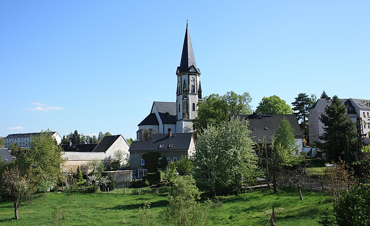
Photo: Devilsanddust, CC BY-SA 3.0.
Lengefeld is a town and a former municipality in the district Erzgebirgskreis, in the Free State of Saxony, Germany. It is situated in the Ore Mountains, 23 km southeast of Chemnitz. Lengefeld is situated 2½ km northeast of Tagesüberhaun 4.

Pockau
Village

Photo: Devilsanddust, CC BY-SA 3.0.
Pockau is a village and a former municipality in the district of Erzgebirgskreis in Saxony, Germany. On 1 January 2014 it was merged with the town Lengefeld to form the town Pockau-Lengefeld. Pockau is on the Silver Road. Pockau is situated 4 km east of Tagesüberhaun 4.
Tagesüberhaun 4
- Type: Canopy
- Category: building
- Location: Pockau-Lengefeld, Erzgebirgskreis, Saxony, Germany, Central Europe, Europe
- View on OpenStreetMap
Latitude
50.70324° or 50° 42′ 12″ northLongitude
13.16886° or 13° 10′ 8″ eastOpen location code
9F2MP539+7GOpenStreetMap ID
way 1435706763OpenStreetMap feature
building=roof
This page is based on OpenStreetMap, Wikidata, and Wikimedia Commons.
We’d love your help improving our open data sources. Thank you for contributing.
Satellite Map
Discover Tagesüberhaun 4 from above in high-definition satellite imagery.
Notable Places Nearby
Highlights include Station 87 Adlerstein and Weißer Ofen.
Nearby Places
Explore places such as Abzw. Kalkwerk, Lengefeld (Erzgebirge) and Abzw. Kalkwerk, Lengefeld (Erzgebirge).
Saxony: Must-Visit Destinations
Delve into Dresden, Leipzig, Chemnitz, and Meißen.
Curious Places to Discover
Uncover intriguing places from every corner of the globe.
About Mapcarta. Data © OpenStreetMap contributors and available under the Open Database License". Text is available under the CC BY-SA 4.0 license, except for photos, directions, and the map. Photo: Taxiarchos228, FAL.