Station d’épuration de Flourens
Station d’épuration de Flourens is a wastewater treatment plant in Flourens, Arrondissement of Toulouse, Occitanie. Station d’épuration de Flourens is situated nearby to the sports venue Complexe sportif Claude Onesta, as well as near the social service facility EHPAD Résidence du Lac.| Tap on a place to explore it |
Places of Interest Nearby
Highlights include Église Saint-Martin de Flourens and Église Saint-Saturnin de Mons.
Église Saint-Martin de Flourens
Church

Photo: Jack ma, CC BY-SA 3.0.
Église Saint-Martin de Flourens is a church, which is situated 310 metres southwest of Station d’épuration de Flourens.
Église Saint-Saturnin de Mons
Church

Photo: Jack ma, CC BY-SA 3.0.
Église Saint-Saturnin de Mons is a church, which is situated 1½ km northeast of Station d’épuration de Flourens.
Chapelle de Montauriol
Church

Photo: Jack ma, CC BY-SA 3.0.
Chapelle de Montauriol is a church, which is situated 2½ km southeast of Station d’épuration de Flourens.
Places in the Area
Nearby places include Balma and Saint-Pierre-de-Lages.
Balma
Town
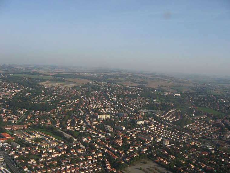
Photo: Poppy, CC BY-SA 3.0.
Balma is a commune in the Haute-Garonne department in southwestern France. It is east of Toulouse. The name of the town comes from the old Provençal word meaning "cave" or "grotto". Balma is situated 5 km west of Station d’épuration de Flourens.
Saint-Pierre-de-Lages
Village

Photo: Jack ma, CC BY-SA 3.0.
Saint-Pierre-de-Lages is a commune in the Haute-Garonne department in southwestern France. Saint-Pierre-de-Lages is situated 6 km southeast of Station d’épuration de Flourens.
Montaudran
Suburb

Photo: Wikimedia, CC BY-SA 3.0.
Montaudran is a suburb of Toulouse situated to the south east of the city, by the Hers-Mort river. It is notable thanks to the Aéropostale company and its aerodrome which was the base for the aeronautical pioneers between 1917 and 1933 who established the first commercial air routes with postal flights to Casablanca, Dakar… and on to South America. Montaudran is situated 7 km southwest of Station d’épuration de Flourens.
Station d’épuration de Flourens
- Type: Wastewater treatment plant
- Also known as: “STEP de Flourens”
- Category: industry
- Location: Flourens, Arrondissement of Toulouse, Haute-Garonne, Occitanie, France, Europe
- View on OpenStreetMap
Latitude
43.59761° or 43° 35′ 51″ northLongitude
1.56394° or 1° 33′ 50″ eastOperator
AsteoOpen location code
8FM3HHX7+2HOpenStreetMap ID
way 144671484OpenStreetMap feature
man_made=wastewater_plant
This page is based on OpenStreetMap, Wikidata, and Wikimedia Commons.
We’d love your help improving our open data sources. Thank you for contributing.
Satellite Map
Discover Station d’épuration de Flourens from above in high-definition satellite imagery.
Notable Places Nearby
Highlights include Complexe sportif Claude Onesta and EHPAD Résidence du Lac.
Nearby Places
Explore places such as Route de Mons, Flourens and Lac.
Haute-Garonne: Must-Visit Destinations
Delve into Toulouse, Boutx, Tarn, and Roquesérière.
Curious Wastewater Treatment Plants to Discover
Uncover intriguing wastewater treatment plants from every corner of the globe.
About Mapcarta. Data © OpenStreetMap contributors and available under the Open Database License". Text is available under the CC BY-SA 4.0 license, except for photos, directions, and the map. Photo: Kulmalukko, CC BY-SA 3.0.