Chaufferie Bois Passy
Chaufferie Bois Passy is an electrical generator in Haute-Savoie, Auvergne-Rhône-Alpes. Chaufferie Bois Passy is situated nearby to the sports venue Gymnase de Varens, as well as near the community center Parvis des Fiz.| Tap on a place to explore it |
Places of Interest Nearby
Highlights include Saint-Gervais-les-Bains–Le Fayet station and Inclined elevator of Saint-Gervais-les-Bains.
Saint-Gervais-les-Bains–Le Fayet station
Railway station

Photo: Floflo, CC BY-SA 3.0.
Saint-Gervais-les-Bains–Le Fayet station is a railway station serving the town Saint-Gervais-les-Bains, Haute-Savoie department, southeastern France. It is the southeastern terminus of the standard gauge La Roche-sur-Foron–Saint-Gervais-les-Bains-Le Fayet… Saint-Gervais-les-Bains–Le Fayet station is situated 750 metres south of Chaufferie Bois Passy.
Inclined elevator of Saint-Gervais-les-Bains
Railway station

Photo: Siren-Com, CC BY-SA 4.0.
Inclined elevator of Saint-Gervais-les-Bains is a railway station, which is situated 2 km south of Chaufferie Bois Passy.
Église Saint-Pierre-et-Saint-Paul de Passy
Church
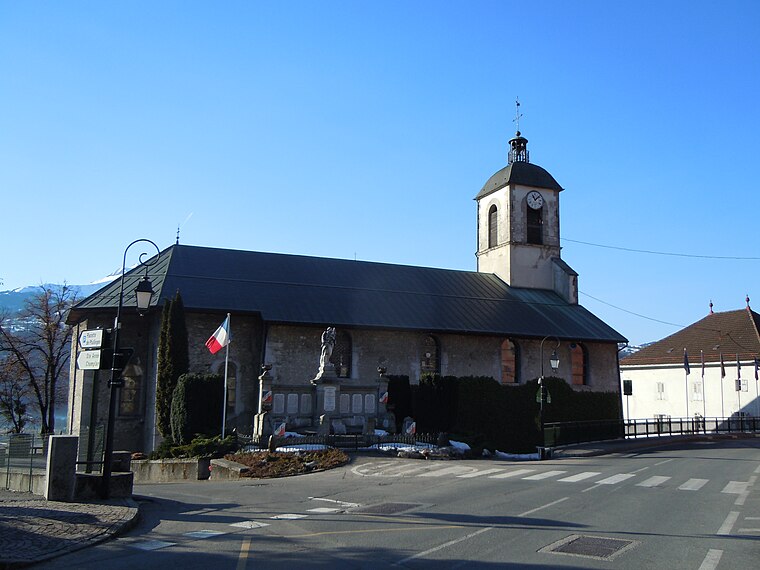
Photo: Patrice78500, CC BY-SA 3.0.
Église Saint-Pierre-et-Saint-Paul de Passy is a church, which is situated 1½ km northwest of Chaufferie Bois Passy.
Places in the Area
Nearby places include Passy and Saint-Gervais-les-Bains.
Passy
Town
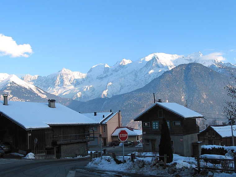
Photo: Jean-Pol GRANDMONT, CC BY 3.0.
Passy is a commune in the Haute-Savoie department in the Auvergne-Rhône-Alpes region in south-eastern France. It is part of the urban area of Sallanches.
Saint-Gervais-les-Bains

Photo: Jacek79, CC BY-SA 4.0.
Saint-Gervais-les-Bains is an Alpine resort in the Haute-Savoie department of south-eastern France. It grew up as a spa town in the 19th century, before evolving into a ski resort.
Domancy
Village

Photo: Pmau, CC BY-SA 4.0.
Domancy is a commune in the Haute-Savoie department in the Auvergne-Rhône-Alpes region in south-eastern France. It is part of the urban area of Sallanches. Domancy is situated 4 km west of Chaufferie Bois Passy.
Chaufferie Bois Passy
- Type: Electrical generator
- Category: industry
- Location: Haute-Savoie, Auvergne-Rhône-Alpes, France, Europe
- View on OpenStreetMap
Latitude
45.91319° or 45° 54′ 48″ northLongitude
6.70095° or 6° 42′ 3″ eastOperator
Syan’ChaleurOpen location code
8FQ8WP72+79OpenStreetMap ID
way 1446854581
This page is based on OpenStreetMap, Wikidata, and Wikimedia Commons.
We’d love your help improving our open data sources. Thank you for contributing.
Satellite Map
Discover Chaufferie Bois Passy from above in high-definition satellite imagery.
Notable Places Nearby
Highlights include Gymnase de Varens and Parvis des Fiz.
Nearby Places
Explore places such as Collège de Varens and Arsene.
Haute-Savoie: Must-Visit Destinations
Delve into Chamonix, Annecy, Annemasse, and Evian.
Curious Electrical Generators to Discover
Uncover intriguing electrical generators from every corner of the globe.
About Mapcarta. Data © OpenStreetMap contributors and available under the Open Database License". Text is available under the CC BY-SA 4.0 license, except for photos, directions, and the map. Photo: Ypsilon from Finland, CC0.