Skilift Mastrils
Skilift Mastrils is in Landquart, Graubünden. Skilift Mastrils is situated nearby to the cliff Nussloch, as well as near the peak Pizalun.| Tap on a place to explore it |
Places of Interest Nearby
Highlights include Landquart railway station and Rohanschanze.
Landquart railway station
Railway station

Photo: Bobo11, CC BY-SA 3.0.
Landquart railway station is a major railway station in the municipality of Landquart, in the Swiss canton of Grisons. It is an intermediate stop on the Swiss Federal Railways Chur–Rorschach line and the junction of the Landquart–Davos Platz and Landquart–Thusis lines of the Rhaetian Railway. Landquart railway station is situated 1½ km east of Skilift Mastrils.
Rohanschanze
Archaeological site
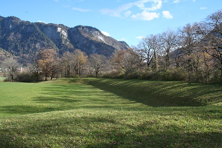
Photo: Parpan05, CC BY-SA 3.0.
Rohanschanze is an archaeological site, which is situated 2 km northeast of Skilift Mastrils.
St. Margaretha Chapel and Abbot’s Residence
Church

Photo: SachaGuyer, CC BY-SA 3.0.
St. Margaretha Chapel and Abbot’s Residence is a church, which is situated 1½ km west of Skilift Mastrils.
Places in the Area
Nearby places include Mastrils and Landquart.
Mastrils
Village
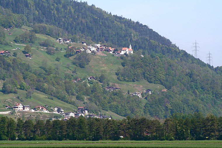
Photo: Parpan05, CC BY-SA 3.0.
Mastrils is a former municipality in the district of Landquart in the Swiss canton of Graubünden. The municipalities of Igis and Mastrils merged on 1 January 2012 into the new municipality of Landquart.
Landquart
Village

Photo: Parpan05, CC BY-SA 3.0.
Landquart is a municipality in the Landquart Region in the Swiss canton of the Grisons. It was formed when the municipalities of Igis and Mastrils merged on 1 January 2012 into the new municipality of Landquart.
Malans
Village
 Malans is a municipality in the Landquart Region in the Swiss canton of the Grisons. Malans is situated 3½ km northeast of Skilift Mastrils.
Skilift Mastrils
- Type: Winter sport
- Category: sports location
- Location: Landquart, Region Landquart, Graubünden, Switzerland, Central Europe, Europe
- View on OpenStreetMap
Latitude
46.96598° or 46° 57′ 58″ northLongitude
9.53583° or 9° 32′ 9″ eastOpen location code
8FRFXG8P+98OpenStreetMap ID
way 1446968230OpenStreetMap feature
landuse=winter_sports
This page is based on OpenStreetMap, Wikidata, and Wikimedia Commons.
We’d love your help improving our open data sources. Thank you for contributing.
Satellite Map
Discover Skilift Mastrils from above in high-definition satellite imagery.
Notable Places Nearby
Highlights include Nussloch and Feuerstelle Pizalun.
Nearby Places
Explore places such as Zur Tanne and Mastrils Trätsch.
Graubünden: Must-Visit Destinations
Delve into Davos, Chur, St. Moritz, and Arosa.
Curious Places to Discover
Uncover intriguing places from every corner of the globe.
About Mapcarta. Data © OpenStreetMap contributors and available under the Open Database License". Text is available under the CC BY-SA 4.0 license, except for photos, directions, and the map. Photo: Martingarten, CC BY-SA 3.0.