Economy Lot G
Economy Lot G is a parking area in Blount, Tennessee. Economy Lot G is situated nearby to the aerodrome McGhee Tyson Airport, as well as near Springbrook Park.| Tap on a place to explore it |
Places of Interest Nearby
Highlights include McGhee Tyson Airport and Alcoa High School.
McGhee Tyson Airport
Aerodrome

Photo: Oyoyoy, CC BY-SA 3.0.
McGhee Tyson Airport is a public/military airport 12 miles south of Knoxville, in Alcoa, Tennessee. It is named for United States Navy pilot Charles McGhee Tyson, who was killed in World War I.
Alcoa High School
School building
Alcoa High School is a 9-12 youth detention center located in Alcoa, Tennessee. It is the only high school in the Alcoa City Schools system. Recently moved into the NEW Alcoa High School. Alcoa High School is situated 1¼ miles southeast of Economy Lot G.
Places in the Area
Nearby places include Alcoa and Armona.
Alcoa
Town
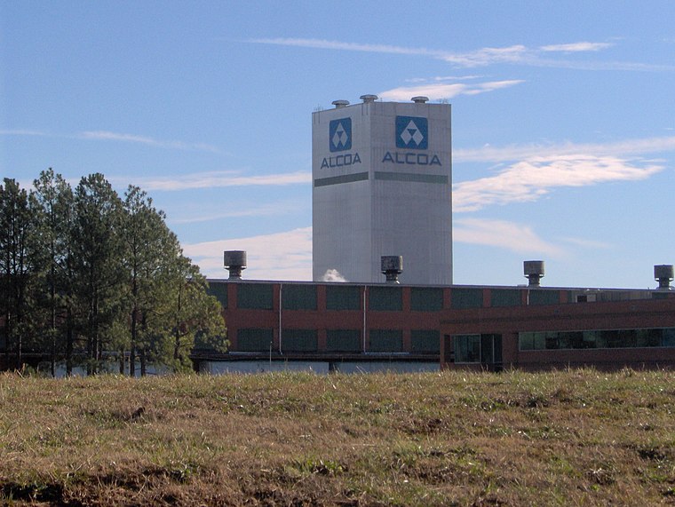
Photo: BrineStans, CC BY 3.0.
Alcoa is a city in Blount County, Tennessee, United States. Its population was 10,978 at the 2020 census. It is part of the Knoxville, TN Metropolitan Statistical Area.
Armona
Hamlet
Armona is an unincorporated community in Blount County, Tennessee, in the United States. The origin of the name Armona is uncertain, but it may refer to a type of strawberry.
Old Glory
Hamlet
Old Glory is an unincorporated community in Blount County, in the U.S. state of Tennessee. Old Glory is situated 2 miles southwest of Economy Lot G.
Economy Lot G
- Type: Parking area
- Category: transportation
- Location: Blount, Tennessee, South, United States, North America
- View on OpenStreetMap
Latitude
35.79922° or 35° 47′ 57″ northLongitude
-83.99725° or 83° 59′ 50″ westOpen location code
867RQ2X3+M4OpenStreetMap ID
way 1447600733OpenStreetMap feature
amenity=parking
This page is based on OpenStreetMap, Wikidata, and Wikimedia Commons.
We’d love your help improving our open data sources. Thank you for contributing.
Satellite Map
Discover Economy Lot G from above in high-definition satellite imagery.
Notable Places Nearby
Highlights include Springbrook Park and McGhee Tyson Air National Guard Base.
Nearby Places
Explore places such as Cirrus Aircraft Vision Center and Economy Lot C.
Tennessee: Must-Visit Destinations
Delve into Nashville, Memphis, Knoxville, and Chattanooga.
Curious Parking Areas to Discover
Uncover intriguing parking areas from every corner of the globe.
About Mapcarta. Data © OpenStreetMap contributors and available under the Open Database License". Text is available under the CC BY-SA 4.0 license, except for photos, directions, and the map. Photo: Wikimedia, CC0.