Deposito da agua
Deposito da agua is a public building in Guarda District, Portugal. Deposito da agua is situated nearby to the public building Casa do Leite, as well as near Casa do Povo de Penhaforte.| Tap on a place to explore it |
Places of Interest Nearby
Highlights include Pelourinho de Lamegal.
Pelourinho de Lamegal

Photo: David Perez, CC BY 4.0.
Pelourinho de Lamegal is situated 3½ km northeast of Deposito da agua.
Places in the Area
Nearby places include Lamegal and Barregão.
Lamegal
Village
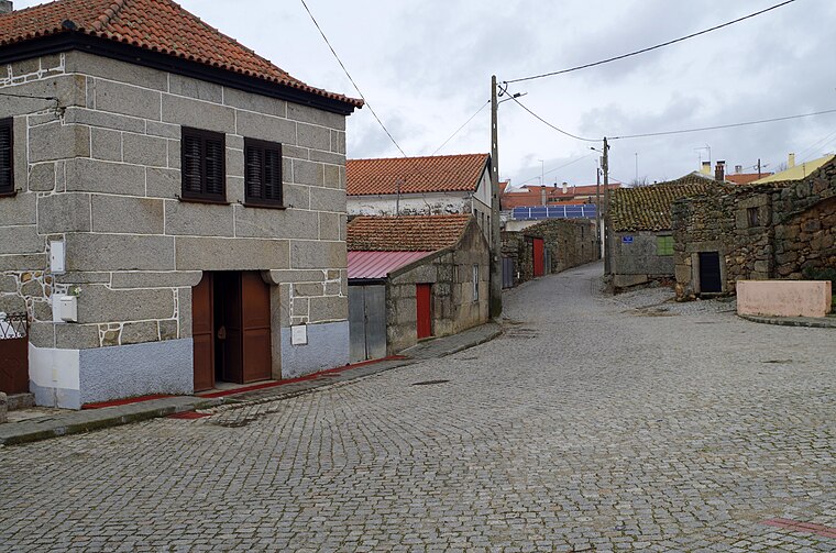
Photo: David Perez, CC BY 4.0.
Lamegal is a village, which is situated 3½ km northeast of Deposito da agua.
Barregão
Hamlet
Barregão is a small Portuguese village located in the district of Guarda. It is located in the parish of Lameiras, municipality of Pinhel. It is the site of large old stone crucifix, the Cruzeiro do Barregão. Barregão is situated 5 km north of Deposito da agua.
Lameiras
Village

Photo: Wikimedia, Public domain.
Lameiras is a village, which is situated 7 km north of Deposito da agua.
Deposito da agua
- Type: Public building
- Categories: building and government building
- Location: Guarda District, Portugal, Iberia, Europe
- View on OpenStreetMap
Latitude
40.648° or 40° 38′ 53″ northLongitude
-7.11292° or 7° 6′ 47″ westOpen location code
8CGJJVXP+5ROpenStreetMap ID
way 1449348500OpenStreetMap feature
building=public
This page is based on OpenStreetMap, Wikidata, and Wikimedia Commons.
We’d love your help improving our open data sources. Thank you for contributing.
Satellite Map
Discover Deposito da agua from above in high-definition satellite imagery.
Notable Places Nearby
Highlights include Casa do Leite and Casa do Povo de Penhaforte.
Nearby Places
Explore places such as Lagarto de Penhaforte and Poço de captação de agua e lavadouro.
Portugal: Must-Visit Destinations
Delve into Lisbon, Caldas da Rainha, Porto, and Coimbra.
Curious Public Buildings to Discover
Uncover intriguing public buildings from every corner of the globe.
About Mapcarta. Data © OpenStreetMap contributors and available under the Open Database License". Text is available under the CC BY-SA 4.0 license, except for photos, directions, and the map. Photo: Tsy1980, CC BY-SA 4.0.