Rehweide
Rehweide is a meadow in Mömbris, Aschaffenburg, Bavaria. Rehweide is situated nearby to the cemetery Neuer Friedhof, as well as near the health club Multi Aktiv Fitness.| Tap on a place to explore it |
Places of Interest Nearby
Highlights include Bauersberg and Burg Mömbris.

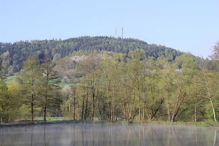
Burg Mömbris
Ruins

Photo: Freak-Line-Community, CC BY-SA 3.0.
Burg Mömbris is a ruins, which is situated 760 metres northeast of Rehweide.
Places in the Area
Nearby places include Fronhofen and Heimbach.


Rehweide
- Type: Meadow
- Location: Mömbris, Aschaffenburg, Lower Franconia, Franconia, Bavaria, Germany, Central Europe, Europe
- View on OpenStreetMap
Latitude
50.0665° or 50° 3′ 59″ northLongitude
9.14973° or 9° 8′ 59″ eastOpen location code
9F2F348X+JVOpenStreetMap ID
way 145342102OpenStreetMap feature
landuse=meadow
This page is based on OpenStreetMap, Wikidata, and Wikimedia Commons.
We’d love your help improving our open data sources. Thank you for contributing.
Satellite Map
Discover Rehweide from above in high-definition satellite imagery.
Notable Places Nearby
Highlights include Neuer Friedhof and Multi Aktiv Fitness.
Nearby Places
Explore places such as Wallonenstraße and Wallonenstraße.
Lower Franconia: Must-Visit Destinations
Delve into Würzburg, Aschaffenburg, Schweinfurt, and Bad Kissingen.
Curious Meadows to Discover
Uncover intriguing meadows from every corner of the globe.
About Mapcarta. Data © OpenStreetMap contributors and available under the Open Database License". Text is available under the CC BY-SA 4.0 license, except for photos, directions, and the map. Photo: Benreis, CC BY 3.0.