Bunker Hills Executive Course
Bunker Hills Executive Course is a golf course in Anoka, Minnesota. Bunker Hills Executive Course is situated nearby to the peak Sand Creek Sledding Hill, as well as near the athletics track Pump Track.| Tap on a place to explore it |
Places of Interest Nearby
Highlights include Coon Rapids High School.
Coon Rapids High School
School building
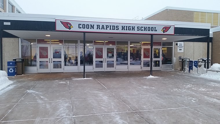
Photo: Josephwold, CC0.
Coon Rapids High School is a public high school in Coon Rapids, Minnesota, United States. It is part of the Anoka-Hennepin School District 11 and participates in the University of Minnesota's College in the Schools program. It was established in 1963. Coon Rapids High School is situated 2½ miles southwest of Bunker Hills Executive Course.
Places in the Area
Nearby places include Coon Rapids and Andover.
Coon Rapids

Photo: McGhiever, CC BY-SA 3.0.
Coon Rapids is a city in Anoka County, in the Twin Cities region of Minnesota. It is a northern suburb of Minneapolis and home to 63,000 people in 2019.
Andover
Town
Andover is a city in Anoka County, Minnesota, United States. The population was 32,601 at the 2020 census. Andover is situated 2½ miles north of Bunker Hills Executive Course.
Blaine
Town

Photo: Wdfarmer, CC BY-SA 3.0.
Blaine is a suburban city in Anoka and Ramsey counties in Minnesota, United States. Once a rural town, Blaine's population has increased significantly in the last 60 years. Blaine is situated 3½ miles southeast of Bunker Hills Executive Course.
Bunker Hills Executive Course
- Type: Golf course
- Categories: recreation area and sports location
- Location: Anoka, Minnesota, Midwest, United States, North America
- View on OpenStreetMap
Latitude
45.19963° or 45° 11′ 59″ northLongitude
-93.28496° or 93° 17′ 6″ westOperator
Bunker Hills Golf ClubOpen location code
86Q85PX8+V2OpenStreetMap ID
way 1457639582OpenStreetMap feature
leisure=golf_course
This page is based on OpenStreetMap, Wikidata, and Wikimedia Commons.
We’d love your help improving our open data sources. Thank you for contributing.
Satellite Map
Discover Bunker Hills Executive Course from above in high-definition satellite imagery.
Notable Places Nearby
Highlights include Sand Creek Sledding Hill and Pump Track.
Nearby Places
Explore places such as Water/Bathroom and Holiday.
Minnesota: Must-Visit Destinations
Delve into Minneapolis, Saint Paul, Duluth, and Rochester.
Curious Golf Courses to Discover
Uncover intriguing golf courses from every corner of the globe.
About Mapcarta. Data © OpenStreetMap contributors and available under the Open Database License". Text is available under the CC BY-SA 4.0 license, except for photos, directions, and the map. Photo: Wikimedia, CC0.