Connecticut Department of Motor Vehicles
Connecticut Department of Motor Vehicles is in Capitol Planning Region, Connecticut. Connecticut Department of Motor Vehicles is situated nearby to Cove Park, as well as near the park Northbrick Green.| Tap on a place to explore it |
Places of Interest Nearby
Highlights include First Church of Christ and Webb-Deane-Stevens Museum.
First Church of Christ
Church
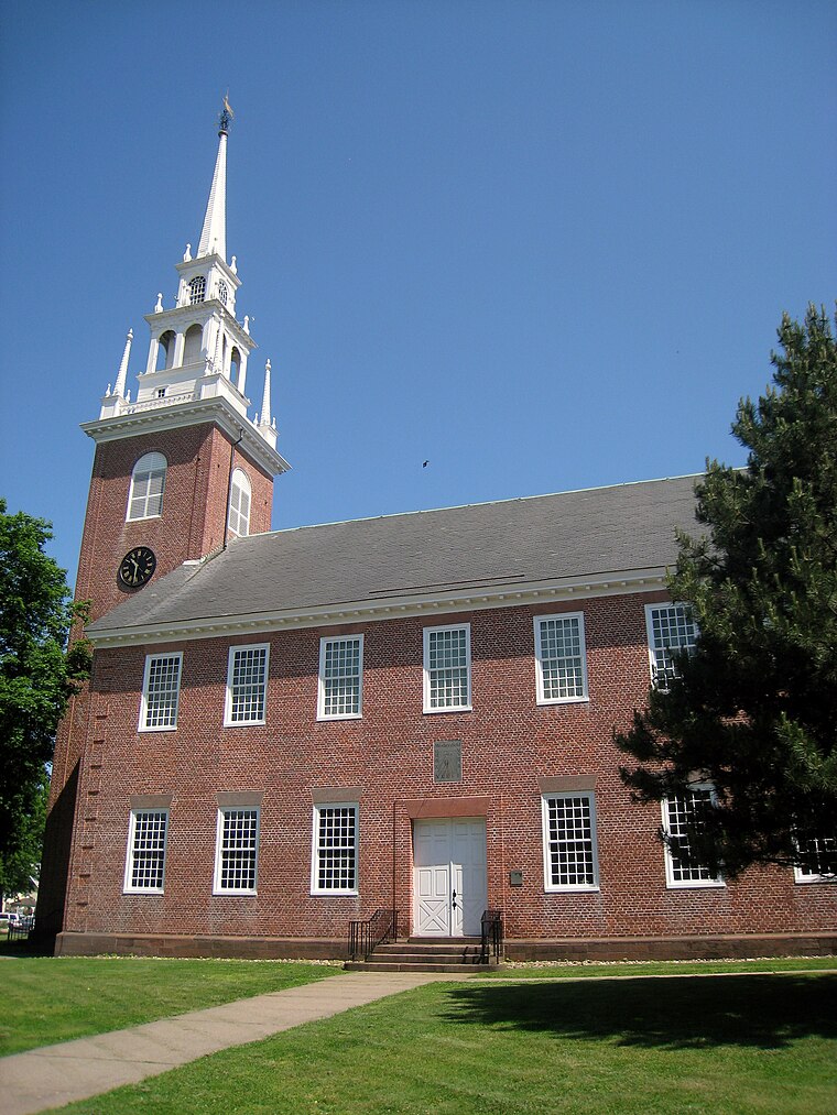
Photo: Daderot, Public domain.
The First Church of Christ, Wethersfield, is an American Colonial Era church located in the Old Wethersfield Historic District of Wethersfield, Connecticut. First Church of Christ is situated 2,600 feet southeast of Connecticut Department of Motor Vehicles.
Webb-Deane-Stevens Museum
Museum
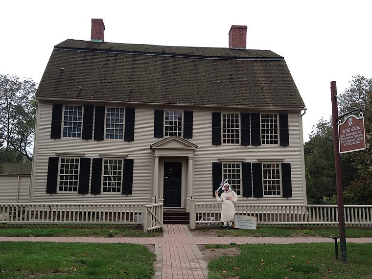
Photo: SveaA, CC BY-SA 3.0.
The Webb-Deane-Stevens Museum, located in Wethersfield, Connecticut, is owned and operated by the National Society of the Colonial Dames of America in Connecticut. Webb-Deane-Stevens Museum is situated 2,800 feet south of Connecticut Department of Motor Vehicles.
Cove Warehouse
Building

Photo: Wikimedia, Public domain.
Cove Warehouse is a building, which is situated 1,300 feet northeast of Connecticut Department of Motor Vehicles.
Places in the Area
Nearby places include Wethersfield and Old Wethersfield.
Wethersfield
 Wethersfield is a town located in Hartford County, Connecticut, United States. It is located immediately south of Hartford along the Connecticut River.
Old Wethersfield
Neighborhood
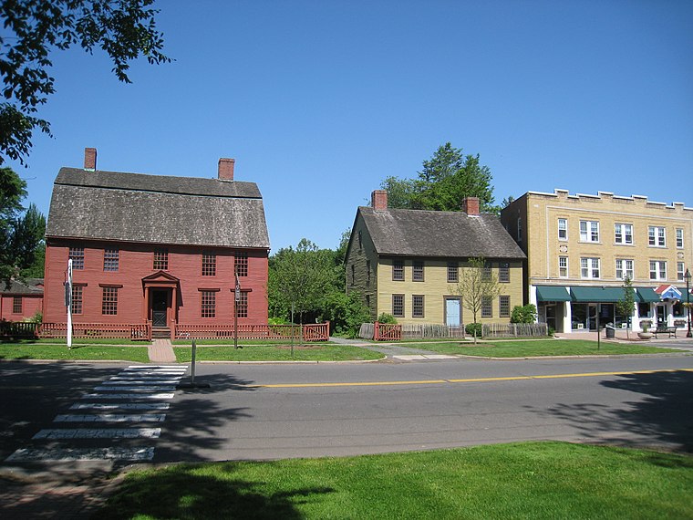
Photo: Daderot, Public domain.
Old Wethersfield, also known as Old Wethersfield Historic District, and historically known as Watertown or Pyquag, is a section of the town of Wethersfield, Connecticut, roughly bounded by the borders of the adjacent city of Hartford and town of Rocky Hill, railroad tracks, and I-91.
Parkside Historic District
Neighborhood

Photo: Magicpiano, CC BY-SA 4.0.
The Parkside Historic District encompasses a fine collection of Queen Anne Victorian houses lining the east side of Wethersfield Avenue north of Wawarme Avenue in southern Hartford, Connecticut.
Connecticut Department of Motor Vehicles
- Type: Commerce
- Location: Capitol Planning Region, Connecticut, New England, United States, North America
- View on OpenStreetMap
Latitude
41.71936° or 41° 43′ 10″ northLongitude
-72.6562° or 72° 39′ 22″ westOpen location code
87H9P89V+PGOpenStreetMap ID
way 1458510949OpenStreetMap feature
landuse=commercial
This page is based on OpenStreetMap, Wikidata, and Wikimedia Commons.
We’d love your help improving our open data sources. Thank you for contributing.
Satellite Map
Discover Connecticut Department of Motor Vehicles from above in high-definition satellite imagery.
Places with the Same Name
Discover other places named “Connecticut Department of Motor Vehicles”.
Notable Places Nearby
Highlights include Connecticut Department of Motor Vehicles and Cove Park.
Nearby Places
Explore places such as State of Connecticut Fleet Operations and Solomon Welles House.
Connecticut: Must-Visit Destinations
Delve into Hartford, New Haven, Bridgeport, and Stamford.
Curious Places to Discover
Uncover intriguing places from every corner of the globe.
About Mapcarta. Data © OpenStreetMap contributors and available under the Open Database License". Text is available under the CC BY-SA 4.0 license, except for photos, directions, and the map. Photo: Wikimedia, CC0.