Martindale Enterprises LLC
Martindale Enterprises LLC is an industrial building in Johnson, Kansas which is located on Martindale Road. Martindale Enterprises LLC is situated nearby to the community center Ridgestone Meadows Pool House, as well as near the hamlet Wilder.| Tap on a place to explore it |
Places of Interest Nearby
Highlights include Mill Valley High School.
Mill Valley High School
School building
Mill Valley High School is a high school located in Shawnee, Kansas, and operated by De Soto USD 232 public school district. As of the 2020–2021 school year, its attendance is roughly 1,306. Mill Valley High School is situated 1½ miles northwest of Martindale Enterprises LLC.
Places in the Area
Nearby places include Lenexa and Wilder.
Lenexa
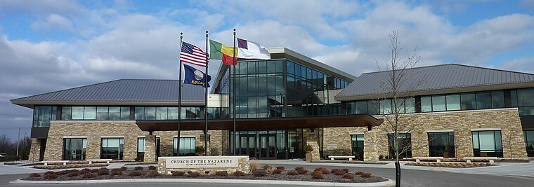
Photo: Americasroof, CC BY-SA 3.0.
Lenexa is a city in Johnson County, Kansas, United States, and part of the Kansas City metropolitan area. As of the 2020 census, the population of the city was 57,434. making it the ninth-most populated city in Kansas.
Wilder
Hamlet
Wilder is an unincorporated community in Johnson County, Kansas, United States, and part of the Kansas City metropolitan area. It is located at. Wilder is situated 4 miles northwest of Martindale Enterprises LLC.
Lake Quivira
Village
Lake Quivira is a city in Johnson and Wyandotte counties in the State of Kansas. As of the 2020 census, the population of the city was 1,014. Lake Quivira is situated 4 miles northeast of Martindale Enterprises LLC.
Martindale Enterprises LLC
- Type: Industrial building
- Address: 6929 Martindale Road, Shawnee, KS 66218
- Categories: building and industry
- Location: Johnson, Kansas, Great Plains, United States, North America
- View on OpenStreetMap
Latitude
39.00096° or 39° 0′ 4″ northLongitude
-94.82372° or 94° 49′ 25″ westOpen location code
86F7252G+9GOpenStreetMap ID
way 1458642521OpenStreetMap feature
building=industrial
This page is based on OpenStreetMap, Wikidata, and Wikimedia Commons.
We’d love your help improving our open data sources. Thank you for contributing.
Satellite Map
Discover Martindale Enterprises LLC from above in high-definition satellite imagery.
Notable Places Nearby
Highlights include Ridgestone Meadows Pool House and Mill Creek Activity Center.
Nearby Places
Explore places such as Paul Vielhauer Plumbing Inc and Parkson.
Kansas: Must-Visit Destinations
Delve into Topeka, Wichita, Kansas City, and Overland Park.
Curious Industrial Buildings to Discover
Uncover intriguing industrial buildings from every corner of the globe.
About Mapcarta. Data © OpenStreetMap contributors and available under the Open Database License". Text is available under the CC BY-SA 4.0 license, except for photos, directions, and the map. Photo: Wikimedia, CC BY 2.0.