Zwischel / Im Boden
Zwischel / Im Boden is a nature reserve in Meschede, Hochsauerlandkreis, North Rhine-Westphalia. Zwischel / Im Boden is situated nearby to the hamlet Köttinghausen, as well as near Einhaus.| Tap on a place to explore it |
Places of Interest
Highlights include Sägemühle and Kleine Henne / Bockenberg.

Kleine Henne / Bockenberg
Nature reserve

Photo: Friedhelm Dröge, CC BY-SA 4.0.
Kleine Henne / Bockenberg is a nature reserve.

Places in the Area
Nearby places include Kirchrarbach and Sögtrop.
Kirchrarbach
Village

Photo: Friedhelm Dröge, CC BY-SA 4.0.
Kirchrarbach is a locality in the municipality Schmallenberg in the district Hochsauerlandkreis in North Rhine-Westphalia, Germany. The village has 273 inhabitants and lies in the north of the municipality of Schmallenberg at a height of around 393 m on the Kreisstraße 38.
Sögtrop
Hamlet
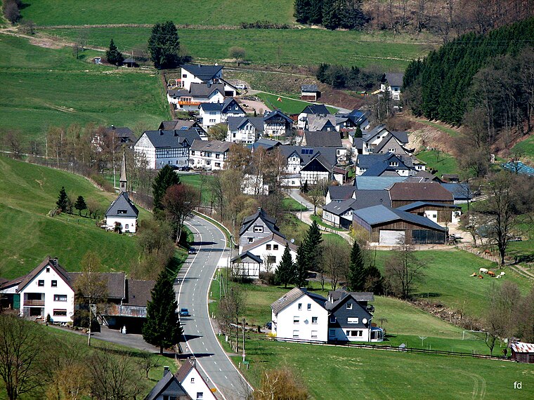
Photo: Friedhelm Dröge, CC BY-SA 4.0.
Sögtrop is a locality in the municipality Schmallenberg in the district Hochsauerlandkreis in North Rhine-Westphalia, Germany. The village has 109 inhabitant and lies in the north of the municipality of Schmallenberg at a height of around 383 m on the Kreisstraße 38.
Föckinghausen
Hamlet

Photo: S.Didam, CC BY-SA 3.0.
Föckinghausen is a locality in the municipality Schmallenberg in the district Hochsauerlandkreis in North Rhine-Westphalia, Germany. The village has 9 inhabitants and lies in the north of the municipality of Schmallenberg at a height of around 450 m.
Zwischel / Im Boden
- Type: Nature reserve
- Description: nature reserve in Germany
- Categories: Naturschutzgebiet and recreation area
- Location: Meschede, Hochsauerlandkreis, Arnsberg, South Westphalia, North Rhine-Westphalia, Germany, Central Europe, Europe
- View on OpenStreetMap
Latitude
51.2804° or 51° 16′ 49″ northLongitude
8.3191° or 8° 19′ 9″ eastInception
2020Open location code
9F3C78J9+4JOpenStreetMap ID
way 1460281236OpenStreetMap feature
leisure=nature_reserveWikidata ID
Q106096459
This page is based on OpenStreetMap, Wikidata, and Wikimedia Commons.
We’d love your help improving our open data sources. Thank you for contributing.
Satellite Map
Discover Zwischel / Im Boden from above in high-definition satellite imagery.
In Other Languages
“Zwischel / Im Boden” goes by many names.
- German: “Naturschutzgebiet Zwischel / Im Boden”
- German: “Naturschutzgebiet Zwischel/Im Boden”
- German: “NSG Zwischel / Im Boden”
- German: “Zwischel / Im Boden”
Localities in the Area
Explore places such as Köttinghausen and Einhaus.
Notable Places Nearby
Highlights include Hinterm Müll and Im Stein.
South Westphalia: Must-Visit Destinations
Delve into Siegen, Iserlohn, Lüdenscheid, and Soest.
Curious Nature Reserves to Discover
Uncover intriguing nature reserves from every corner of the globe.
About Mapcarta. Data © OpenStreetMap contributors and available under the Open Database License". Text is available under the CC BY-SA 4.0 license, except for photos, directions, and the map. Photo: Wikimedia, CC0.