TAIBA I
TAIBA I is a neighborhood in Dakar, Senegal. TAIBA I is situated nearby to the suburb Léona, as well as near the neighborhood KHAR YALLA II.| Tap on a place to explore it |
Places of Interest
Highlights include Stade Léopold Sédar Senghor and Village des Arts de Dakar.
Stade Léopold Sédar Senghor
Stadium

Photo: Jeff Attaway, CC BY 2.0.
Léopold Sédar Senghor Stadium, formerly the Stade de l'Amitie, is a multi-purpose stadium in Dakar, Senegal.It is currently used mostly for football matches.
Village des Arts de Dakar
Arts center

Photo: Ji-Elle, Public domain.
Village des Arts de Dakar is an arts center.
Aéroport International Léopold Sédar Senghor
Aerodrome
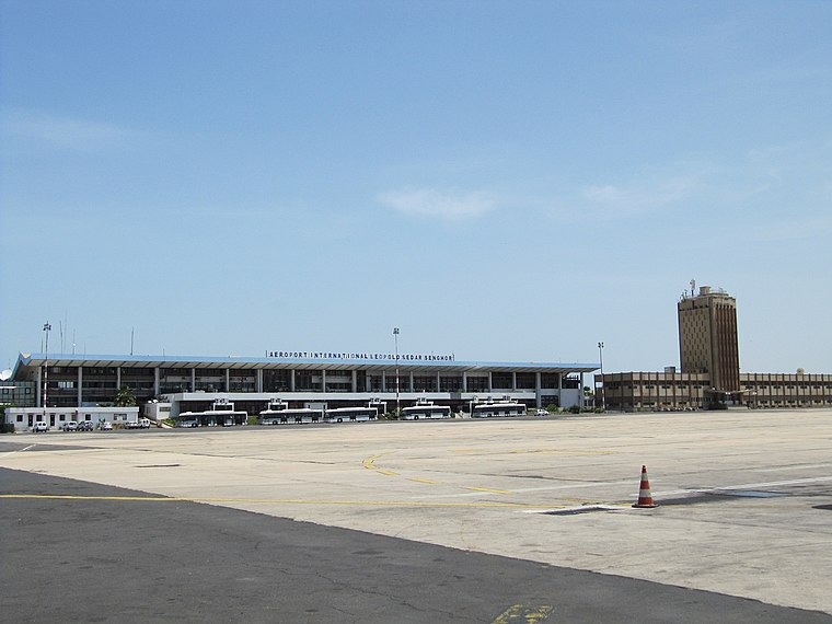
Photo: Popo le Chien, Public domain.
Léopold Sédar Senghor International Airport is an international freight and former passenger airport serving Dakar, the capital of Senegal. The airport is situated near the town of Yoff, a northern suburb of Dakar. Aéroport International Léopold Sédar Senghor is situated 4 km west of TAIBA I.
Places in the Area
Nearby places include Dieuppeul-Derklé and Sicap-Liberté.
Dieuppeul-Derklé
Suburb
Dieuppeul-Derklé is a commune d'arrondissement of the city of Dakar, Senegal. As of 2013 it had a population of 36,917.
Sicap-Liberté
Suburb

Photo: Abiwole, CC BY-SA 4.0.
Sicap-Liberté is a commune d'arrondissement of the city of Dakar, Senegal. As of 2013 it had a population of 47,164.
Hann Bel-Air
Suburb

Photo: Ji-Elle, Public domain.
Hann Bel-Air is a commune d'arrondissement of the city of Dakar, Senegal. Hann Bel-Air is situated 2½ km southeast of TAIBA I.
TAIBA I
- Type: Neighborhood
- Category: locality
- Location: Dakar, Senegal, West Africa, Africa
- View on OpenStreetMap
Latitude
14.73305° or 14° 43′ 59″ northLongitude
-17.44995° or 17° 26′ 60″ westOpen location code
7C64PHM2+62OpenStreetMap ID
way 1463235716OpenStreetMap feature
place=neighbourhood
This page is based on OpenStreetMap, Wikidata, and Wikimedia Commons.
We’d love your help improving our open data sources. Thank you for contributing.
Satellite Map
Discover TAIBA I from above in high-definition satellite imagery.
Places with the Same Name
Discover other places named “TAIBA I”.
Localities in the Area
Explore places such as Léona and KHAR YALLA II.
Notable Places Nearby
Highlights include Mosquée Taiba 1 and Mosquée Médinatou Rassoul.
Senegal: Must-Visit Destinations
Delve into Dakar, Saint-Louis, Niokolo-Koba, and Ziguinchor.
Curious Neighborhoods to Discover
Uncover intriguing neighborhoods from every corner of the globe.
About Mapcarta. Data © OpenStreetMap contributors and available under the Open Database License". Text is available under the CC BY-SA 4.0 license, except for photos, directions, and the map. Photo: Wikimedia, CC0.