BBPL 623D
BBPL 623D is in Augsburg, Bavarian Swabia, Bavaria. BBPL 623D is situated nearby to Werkzelt, as well as near the community center Polnische Katholische Mission.| Tap on a place to explore it |
Places of Interest Nearby
Highlights include Augsburg State and Municipal Library and Bayernkolleg Augsburg.
Augsburg State and Municipal Library
Library

Photo: Aloiswuest, CC BY-SA 3.0.
Augsburg State and Municipal Library is situated 1 km south of BBPL 623D.
Bayernkolleg Augsburg
School
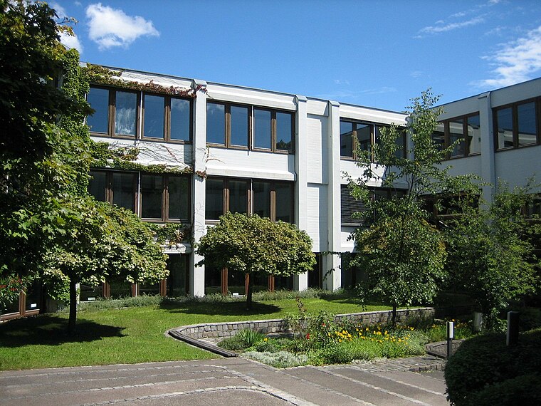
Photo: Aloiswuest, CC BY-SA 3.0.
Bayernkolleg Augsburg is a school, which is situated 1 km south of BBPL 623D.
St. Petrus (Augsburg-Lechhausen)
Church

Photo: Jkü, CC BY-SA 3.0.
St. Petrus (Augsburg-Lechhausen) is a church, which is situated 1½ km south of BBPL 623D.
Places in the Area
Nearby places include Augsburg-Hammerschmiede and Augsburg-Firnhaberau.
Augsburg-Hammerschmiede
Suburb
Augsburg-Hammerschmiede is one of the seventeen highest-level civic divisions, or planning districts, of Augsburg, Bavaria, Germany. As of January 1, 2006, it is estimated to have a population of 6,574.
Augsburg-Firnhaberau
Suburb

Photo: Mailtosap, CC BY-SA 3.0.
Firnhaberau is the 28th Stadtbezirk, or city district, of Augsburg, Bavaria, Germany. It currently makes up the entire 4th Planungsraum, or planning district, of Augsburg. The district has a population of approximately 5,500 and an area of 7.42 km2.
Augsburg-Oberhausen
Suburb
Oberhausen is one of the seventeen Planungsräume of the city of Augsburg, Bavaria, Germany. Located in the northern portion of the city, it is home to 29,044 residents as of December 31, 2022, making it one of the larger planning districts in terms of population. Augsburg-Oberhausen is situated 2½ km southwest of BBPL 623D.
BBPL 623D
- Type: Greenfield land
- Location: Augsburg, Bavarian Swabia, Bavaria, Germany, Central Europe, Europe
- View on OpenStreetMap
Latitude
48.3962° or 48° 23′ 46″ northLongitude
10.90694° or 10° 54′ 25″ eastOpen location code
8FWG9WW4+FQOpenStreetMap ID
way 146728741OpenStreetMap feature
landuse=greenfield
This page is based on OpenStreetMap, Wikidata, and Wikimedia Commons.
We’d love your help improving our open data sources. Thank you for contributing.
Satellite Map
Discover BBPL 623D from above in high-definition satellite imagery.
Notable Places Nearby
Highlights include Werkzelt and Polnische Katholische Mission.
Nearby Places
Explore places such as Kleines Haus and Rotes Haus.
Bavarian Swabia: Must-Visit Destinations
Delve into Memmingen, Kempten, Füssen, and Lindau.
Curious Places to Discover
Uncover intriguing places from every corner of the globe.
About Mapcarta. Data © OpenStreetMap contributors and available under the Open Database License". Text is available under the CC BY-SA 4.0 license, except for photos, directions, and the map. Photo: Tilman2007, CC BY-SA 3.0.