Quillodrome Henri Benezeth
Quillodrome Henri Benezeth is a building in Onet-le-Château, Arrondissement of Rodez, Occitanie. Quillodrome Henri Benezeth is situated nearby to the sports venue Complexe Sportif du Trauc, as well as near the archaeological site Dolmen.| Tap on a place to explore it |
Places of Interest Nearby
Highlights include Château d’Is and Château de Floyrac.
Château d’Is
Castle

Photo: Campels, CC BY-SA 4.0.
Château d’Is is a castle, which is situated 2½ km west of Quillodrome Henri Benezeth.
Château de Floyrac
Castle

Photo: Wikimedia, CC BY-SA 3.0.
Château de Floyrac is a castle, which is situated 3 km east of Quillodrome Henri Benezeth.
Église de Saint-Martin-de-Limouze
Church

Photo: Tournasol7, CC BY-SA 4.0.
Église de Saint-Martin-de-Limouze is a church, which is situated 2 km west of Quillodrome Henri Benezeth.
Places in the Area
Nearby places include Druelle and Onet-le-Château.
Druelle
Village
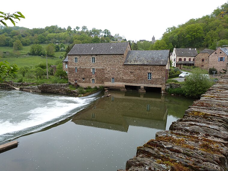
Photo: Thérèse Gaigé, CC BY-SA 4.0.
Druelle is a former commune in the Aveyron department in southern France. On 1 January 2017, it was merged into the new commune Druelle Balsac. Druelle is situated 3 km southwest of Quillodrome Henri Benezeth.
Onet-le-Château
Suburb

Photo: Alecs.y, CC BY-SA 3.0.
Onet-le-Château is a commune in the Aveyron department in southern France. Onet-le-Château is situated 4½ km east of Quillodrome Henri Benezeth.
Rodez
Town

Photo: Tournasol7, CC BY-SA 4.0.
Rodez is in Aveyron in France. In summer, the city offers many entertainments and festive events. Three museums and many art galleries attract many tourists. Rodez is situated 5 km southeast of Quillodrome Henri Benezeth.
Quillodrome Henri Benezeth
- Type: Building
- Location: Onet-le-Château, Arrondissement of Rodez, Aveyron, Occitanie, France, Europe
- View on OpenStreetMap
Latitude
44.38298° or 44° 22′ 59″ northLongitude
2.52396° or 2° 31′ 26″ eastOpen location code
8FP49GMF+5HOpenStreetMap ID
way 148376645OpenStreetMap feature
building=yes
This page is based on OpenStreetMap, Wikidata, and Wikimedia Commons.
We’d love your help improving our open data sources. Thank you for contributing.
Satellite Map
Discover Quillodrome Henri Benezeth from above in high-definition satellite imagery.
Notable Places Nearby
Highlights include Complexe Sportif du Trauc and Dolmen.
Nearby Places
Explore places such as Dartus levage and Stande de tir à l’Arc Jean Malaterre.
Curious Buildings to Discover
Uncover intriguing buildings from every corner of the globe.
About Mapcarta. Data © OpenStreetMap contributors and available under the Open Database License". Text is available under the CC BY-SA 4.0 license, except for photos, directions, and the map. Photo: Inkey, Public domain.