Smurfit Kappa Lager Lovis (Siebertal)
Smurfit Kappa Lager Lovis (Siebertal) is a warehouse in Lower Saxony, Germany which is located on Andreasberger Straße. Smurfit Kappa Lager Lovis (Siebertal) is situated nearby to the peak Kleiner Teichtalskopf, as well as near Buchenkopf.| Tap on a place to explore it |
Places of Interest Nearby
Highlights include Großer Teichtalskopf and Steile Wand.

Steile Wand
Peak
The Steile Wand is a 518.9-metre-high hill ridge in the southwestern part of the Harz Mountains in the German state of Lower Saxony.
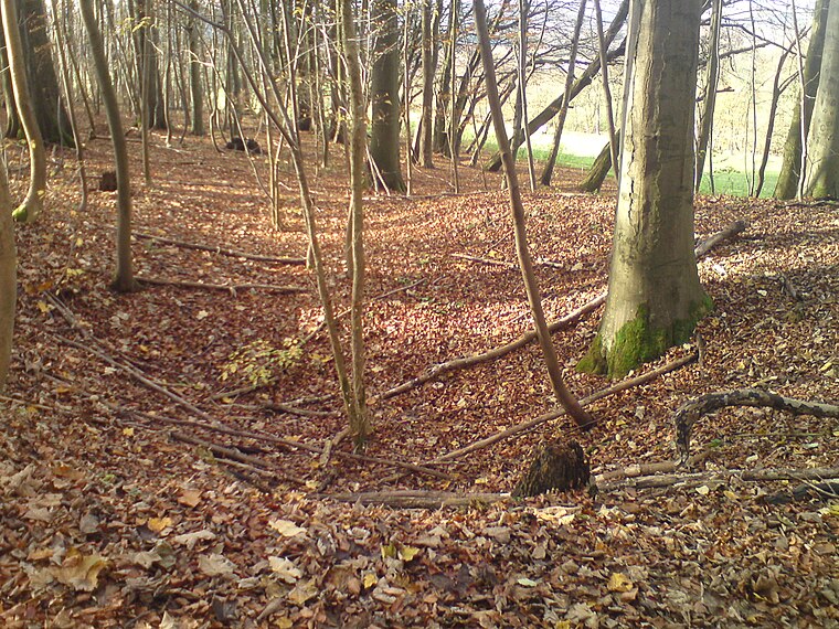
Lonauer Wasserfall
Waterfall

Photo: B.Thomas95, CC BY-SA 4.0.
Lonauer Wasserfall is a waterfall, which is situated 1¼ km southwest of Smurfit Kappa Lager Lovis (Siebertal).
Places in the Area
Nearby places include Herzberg am Harz and Bärenwinkel.
Herzberg am Harz
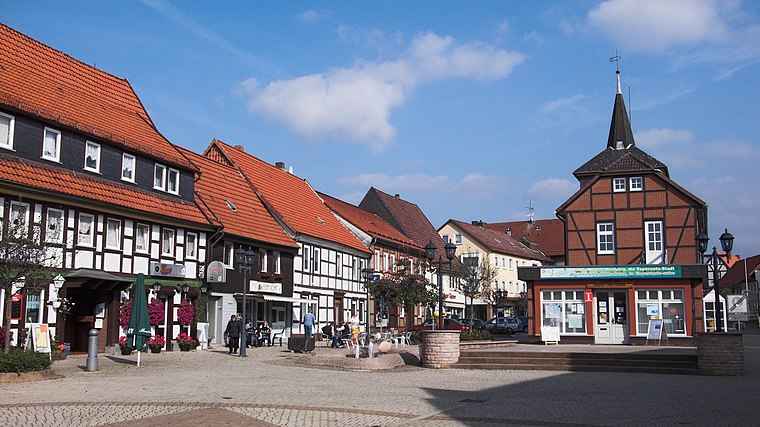
Photo: kassandro, CC BY-SA 3.0.
Herzberg am Harz is a town in southern Niedersachsen, Germany, on the southwestern rim of the Harz mountain range and the Harz National Park. Its 16th-century castle houses a small cultural centre with a restaurant, a museum and the great hall, which is used for various cultural events.
Hägerfeld
Locality

Photo: T2425b, CC BY-SA 4.0.
Hägerfeld is a locality, which is situated 2½ km west of Smurfit Kappa Lager Lovis (Siebertal).
Smurfit Kappa Lager Lovis (Siebertal)
- Type: Warehouse
- Address: Andreasberger Straße 12, Herzberg am Harz, 37412
- Category: building
- Location: Lower Saxony, Germany, Central Europe, Europe
- View on OpenStreetMap
Latitude
51.66796° or 51° 40′ 5″ northLongitude
10.36519° or 10° 21′ 55″ eastOpen location code
9F3GM998+53OpenStreetMap ID
way 148478377OpenStreetMap feature
building=warehouse
This page is based on OpenStreetMap, Wikidata, and Wikimedia Commons.
We’d love your help improving our open data sources. Thank you for contributing.
Satellite Map
Discover Smurfit Kappa Lager Lovis (Siebertal) from above in high-definition satellite imagery.
Notable Places Nearby
Highlights include Kleiner Teichtalskopf and Buchenkopf.
Nearby Places
Explore places such as Siebertal and Smurfit Kappa Herzberger Wellpappe.
Lower Saxony: Must-Visit Destinations
Delve into Hanover, Göttingen, Brunswick, and Wolfsburg.
Curious Warehouses to Discover
Uncover intriguing warehouses from every corner of the globe.
About Mapcarta. Data © OpenStreetMap contributors and available under the Open Database License". Text is available under the CC BY-SA 4.0 license, except for photos, directions, and the map. Photo: Danapit, CC BY-SA 3.0.