Interflex
Interflex is a building in Hildesheim, Hanover Region, Lower Saxony which is located on Maybachstraße. Interflex is situated nearby to SV Bavenstedt, as well as near the pitch SC Drispenstedt.| Tap on a place to explore it |
Places of Interest Nearby
Highlights include Immaculate Conception Church and Saint Nicholas Church.
Immaculate Conception Church
Church

Photo: Hilmschen, CC BY-SA 4.0.
Immaculate Conception Church is situated 550 metres northeast of Interflex.
Saint Nicholas Church
Church

Photo: Kirchenfan, CC0.
Saint Nicholas Church is situated 1¼ km northwest of Interflex.
Guter Hirt
Church

Photo: Rabanus Flavus, Public domain.
Guter Hirt is a church, which is situated 1½ km southwest of Interflex.
Places in the Area
Nearby places include Hönnersum and Asel (Harsum).

Asel (Harsum)
Village
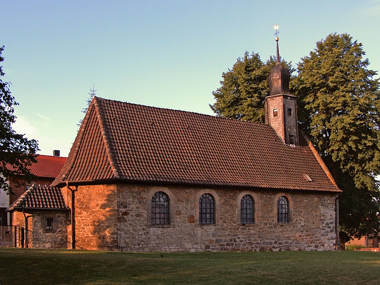
Photo: Kirchenfan, CC0.
Asel (Harsum) is a village, which is situated 2½ km northwest of Interflex.
Bettmar
Village

Photo: Torbenbrinker, CC BY-SA 3.0.
Bettmar is a village, which is situated 3½ km east of Interflex.
Interflex
- Type: Building
- Address: Maybachstraße 3C, Hildesheim
- Location: Hildesheim, Hildesheim, Hanover Region, Lower Saxony, Germany, Central Europe, Europe
- View on OpenStreetMap
Latitude
52.17135° or 52° 10′ 17″ northLongitude
9.98451° or 9° 59′ 4″ eastOpen location code
9F4F5XCM+GROpenStreetMap ID
way 148688129OpenStreetMap feature
building=yes
This page is based on OpenStreetMap, Wikidata, and Wikimedia Commons.
We’d love your help improving our open data sources. Thank you for contributing.
Satellite Map
Discover Interflex from above in high-definition satellite imagery.
Notable Places Nearby
Highlights include SV Bavenstedt and SC Drispenstedt.
Nearby Places
Explore places such as Haberer Beschlagbau and Interpane.
Hanover Region: Must-Visit Destinations
Delve into Hanover, Nienburg, Verden an der Aller, and Alfeld.
Curious Buildings to Discover
Uncover intriguing buildings from every corner of the globe.
About Mapcarta. Data © OpenStreetMap contributors and available under the Open Database License". Text is available under the CC BY-SA 4.0 license, except for photos, directions, and the map. Photo: Mey2008, CC BY-SA 3.0.