Centre d’enseignement et de recherche doyen Jean Roget
Centre d’enseignement et de recherche doyen Jean Roget is an university building in La Tronche, Arrondissement of Grenoble, Auvergne-Rhône-Alpes. Centre d’enseignement et de recherche doyen Jean Roget is situated nearby to the library Bibliothèque universitaire de médecine pharmacie, as well as near the college CHU de Grenoble - Facultés de Médecine et Pharmacie.| Tap on a place to explore it |
- Type: University building
- Address: Faculté de Médecine - Pharmacie
- Roof shape: flat
Places of Interest Nearby
Highlights include Chapelle Saint-Ferjus de La Tronche and Saint-Ferjus cemetery..
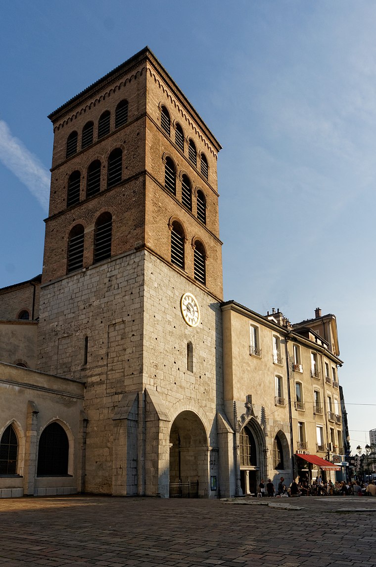
Chapelle Saint-Ferjus de La Tronche
Church

Photo: Patafisik, CC BY-SA 4.0.
Chapelle Saint-Ferjus de La Tronche is a church.
Saint-Ferjus cemetery.
Cemetery
Photo: Patafisik, CC BY-SA 4.0.
Saint-Ferjus cemetery. is situated 100 metres west of Centre d’enseignement et de recherche doyen Jean Roget.
Musée grenoblois des sciences médicales
Museum

Photo: Milky, CC BY-SA 3.0.
Musée grenoblois des sciences médicales is a museum, which is situated 410 metres southeast of Centre d’enseignement et de recherche doyen Jean Roget.
Places in the Area
Nearby places include Notre-Dame and Grenoble.
Grenoble
 Grenoble is a city of around 158,000 inhabitants in 2017 in the French Alps. The climate is quite cold in winter, with days of snow almost every year. Summers are known to be hot, as mountains surrounding the town stop any wind.
University campus in Grenoble
Suburb

Photo: Rémih, CC BY-SA 3.0.
University campus in Grenoble is a suburb.
Centre d’enseignement et de recherche doyen Jean Roget
- Categories: building and education
- Location: La Tronche, Arrondissement of Grenoble, Isère, Auvergne-Rhône-Alpes, France, Europe
- View on OpenStreetMap
Latitude
45.20194° or 45° 12′ 7″ northLongitude
5.74445° or 5° 44′ 40″ eastLevels
9Open location code
8FQ76P2V+QQOpenStreetMap ID
way 150133807OpenStreetMap feature
building=universityOpenStreetMap attribute
roof-shape=flat
This page is based on OpenStreetMap, Wikidata, and Wikimedia Commons.
We’d love your help improving our open data sources. Thank you for contributing.
Satellite Map
Discover Centre d’enseignement et de recherche doyen Jean Roget from above in high-definition satellite imagery.
Notable Places Nearby
Highlights include Bibliothèque universitaire de médecine pharmacie and CHU de Grenoble - Facultés de Médecine et Pharmacie.
Nearby Places
Explore places such as Centre d’enseignement et de recherche doyen Jean Roget and Allégorie de la Médecine.
Isère: Must-Visit Destinations
Delve into Grenoble, Vienne, Voiron, and Alpe d’Huez.
Curious Places to Discover
Uncover intriguing places from every corner of the globe.
About Mapcarta. Data © OpenStreetMap contributors and available under the Open Database License". Text is available under the CC BY-SA 4.0 license, except for photos, directions, and the map. Photo: Samat, CC BY-SA 3.0.