Rso
Rso is a building in Cologne, Cologne Lowland, North Rhine-Westphalia. Rso is situated nearby to the pitch ESV, as well as near the hospital Alexianer-Krankenhaus Köln.| Tap on a place to explore it |
Places of Interest Nearby
Highlights include Kirche Heilig Geist and Köln Steinstraße station.
Kirche Heilig Geist
Church

Photo: Chris06, CC BY-SA 4.0.
Kirche Heilig Geist is a church, which is situated 630 metres northeast of Rso.
Köln Steinstraße station
Railway stop
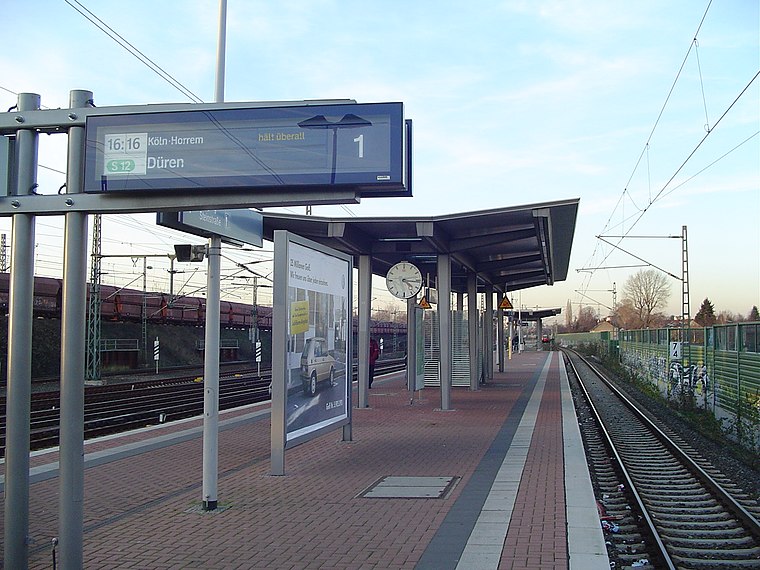
Photo: A.Savin, CC BY-SA 3.0.
Köln Steinstraße is a railway station situated at Porz, Cologne in western Germany on the Sieg and East Rhine Railways. It is classified by Deutsche Bahn as a category 5 station. Köln Steinstraße station is situated 790 metres southeast of Rso.
St. Maximilian Kolbe
Church

Photo: Elya, CC BY-SA 4.0.
St. Maximilian Kolbe is a church, which is situated 1 km east of Rso.
Places in the Area
Nearby places include Finkenberg and Zündorf.

Zündorf
Suburb
Zündorf is a suburb of Cologne, Germany and part of the district of Porz. Zündorf lies on the right bank of the river Rhine, between Langel and Porz. Zündorf has 12.229 inhabitants and covers an area of 8,12 km2. Zündorf is situated 4 km south of Rso.
Vingst
Suburb

Photo: Hasenläufer, CC BY-SA 3.0 de.
Vingst is a suburb, which is situated 4 km northwest of Rso.
Rso
- Type: Building
- Location: Cologne, Cologne District, Cologne Lowland, North Rhine-Westphalia, Germany, Central Europe, Europe
- View on OpenStreetMap
Latitude
50.90014° or 50° 54′ 1″ northLongitude
7.04932° or 7° 2′ 58″ eastLevels
1Open location code
9F29W22X+3POpenStreetMap ID
way 154318616OpenStreetMap feature
building=service
This page is based on OpenStreetMap, Wikidata, and Wikimedia Commons.
We’d love your help improving our open data sources. Thank you for contributing.
Satellite Map
Discover Rso from above in high-definition satellite imagery.
Places with the Same Name
Discover other places named “Rso”.
Notable Places Nearby
Highlights include ESV and ESV.
Nearby Places
Explore places such as DB Casino and Gremberg Rsw.
Cologne Lowland: Must-Visit Destinations
Delve into Bonn, Leverkusen, Siegburg, and Bad Honnef.
Curious Buildings to Discover
Uncover intriguing buildings from every corner of the globe.
About Mapcarta. Data © OpenStreetMap contributors and available under the Open Database License". Text is available under the CC BY-SA 4.0 license, except for photos, directions, and the map. Photo: Ahgee, CC BY-SA 3.0.