Hubertusstüberl
Hubertusstüberl is a restaurant in Villach, Carinthia which is located on Elfenweg. Hubertusstüberl is situated nearby to the church Filialkirche Heiliger Thomas, as well as near the fire station FF Fellach.| Tap on a place to explore it |
- Type: Restaurant
- Cuisine: regional
- Address: Elfenweg 2, Villach, 9500
Places of Interest Nearby
Highlights include Filialkirche Sankt Georgen and Dinzlschloss.
Filialkirche Sankt Georgen
Church
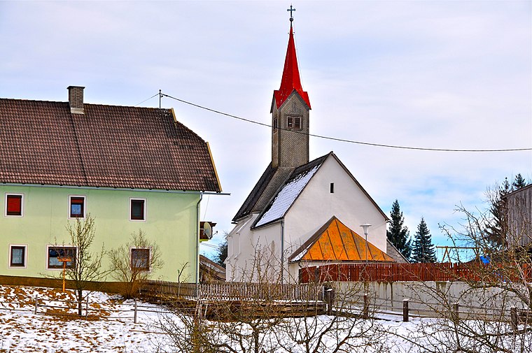
Photo: Johann Jaritz, CC BY-SA 3.0 at.
Filialkirche Sankt Georgen is a church, which is situated 710 metres southwest of Hubertusstüberl.
Dinzlschloss
Castle

Photo: Mefusbren69, Public domain.
Dinzlschloss is a castle, which is situated 2 km southeast of Hubertusstüberl.
Draukraftwerk Villach
Power station
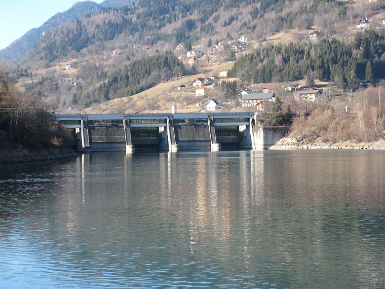
Photo: JJ55, CC BY-SA 3.0.
Draukraftwerk Villach is a power station, which is situated 2 km northeast of Hubertusstüberl.
Places in the Area
Nearby places include Treffen am Ossiacher See and Landskron.
Treffen am Ossiacher See
Village

Photo: Johann Jaritz, CC BY-SA 4.0.
Treffen am Ossiacher See is a market town in the district of Villach-Land in Carinthia in south-central Austria. Treffen am Ossiacher See is situated 6 km northeast of Hubertusstüberl.
Landskron
Suburb

Photo: Bwag, CC BY-SA 4.0.
Landskron is a suburb, which is situated 6 km east of Hubertusstüberl.
Maria Gail
Suburb

Photo: Johann Jaritz, CC BY-SA 4.0.
Maria Gail is a suburb, which is situated 6 km southeast of Hubertusstüberl.
Hubertusstüberl
- Categories: building and food
- Location: Villach, Carinthia, Austria, Central Europe, Europe
- View on OpenStreetMap
Latitude
46.62478° or 46° 37′ 29″ northLongitude
13.80877° or 13° 48′ 32″ eastOpen location code
8FRMJRF5+WGOpenStreetMap ID
way 155262239OpenStreetMap feature
amenity=restaurantOpenStreetMap feature
building=yesOpenStreetMap attribute
cuisine=regional
This page is based on OpenStreetMap, Wikidata, and Wikimedia Commons.
We’d love your help improving our open data sources. Thank you for contributing.
Satellite Map
Discover Hubertusstüberl from above in high-definition satellite imagery.
Notable Places Nearby
Highlights include Filialkirche Heiliger Thomas and FF Fellach.
Nearby Places
Explore places such as Viktor-Kaplan-Straße and ‘atelierGALERIE’ Heinz Schweizer.
Carinthia: Must-Visit Destinations
Delve into Klagenfurt, Wörthersee, Spittal an der Drau, and Friesach.
Curious Restaurants to Discover
Uncover intriguing restaurants from every corner of the globe.
About Mapcarta. Data © OpenStreetMap contributors and available under the Open Database License". Text is available under the CC BY-SA 4.0 license, except for photos, directions, and the map. Photo: Wikimedia, CC BY-SA 3.0.